UN/LOCODE hub · Italy
ITMDN

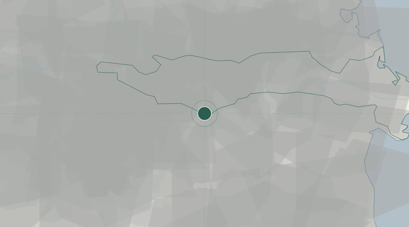
Santa Maria Maddalena

44.9000°, 11.6167°
8,174
Population
2
Transport functions

Transport Functions

Rail
Road
UN/LOCODE

Hub Profile

Place type
Populated place
GeoNames
Region
Veneto
GeoNames
Population
8,174
GeoNames
Time zone
Europe/Rome
GeoNames
Elevation
5 m
GeoNames

Location

Location of ITMDN
Natural Earth 10m (public domain) · Veneto · ITMDN · 44.90, 11.62GoogleOSMYandex

Nearby Logistics Neighbours

Cities
  1. 1Fratta Polesine15 km
  2. 2Gaibanella15 km
  3. 3Ficarolo16 km
  4. 4Costa di Rovigo18 km
  5. 5Poggio Renatico18 km
Nearest neighbours — logibook spatial index (haversine) over the source coordinates
Ports
  1. 1Porto Garibaldi56 km
  2. 2Porto Di Chioggia65 km
  3. 3Porto Di Corsini70 km
  4. 4Porto Di Lido-Venezia86 km
  5. 5Cesenatico99 km
Nearest neighbours — logibook spatial index (haversine) over the source coordinates
Airports
  1. 1Bologna Guglielmo Marconi Airport48 km
  2. 2Padova Gino Allegri Airfield58 km
  3. 3Verona Villafranca Valerio Catullo Airport79 km
  4. 4Forlì-Luigi Ridolfi International Airport86 km
  5. 5Venice Marco Polo Airport89 km
Nearest neighbours — logibook spatial index (haversine) over the source coordinates
Trade Zones
  1. 1Consorzio Zona Industriale e Porto Fluviale di Padova60 km
  2. 2Free Port of Venice80 km
  3. 3Port of Pula Free Zone175 km
  4. 4Free Port of Trieste187 km
  5. 5Port of Rijeka Free Zone210 km
Nearest neighbours — logibook spatial index (haversine) over the source coordinates
DatabookThe Record of Consolidated Knowledge
Italy beyond logistics?
Browse databook

All Sources

LocationsUN/LOCODE
UN/LOCODE — free
LocationsGeoNames
CC BY 4.0
Portsthe NGA World Port Index
Public domain (US gov)
AirportsOurAirports
Public domain
Trade Zonesthe World Bank SEZ database
CC BY 4.0
Trade ZonesOpen Zone Map
CC BY
← Italy locations