Transport Functions
Rail
Road
Hub Profile
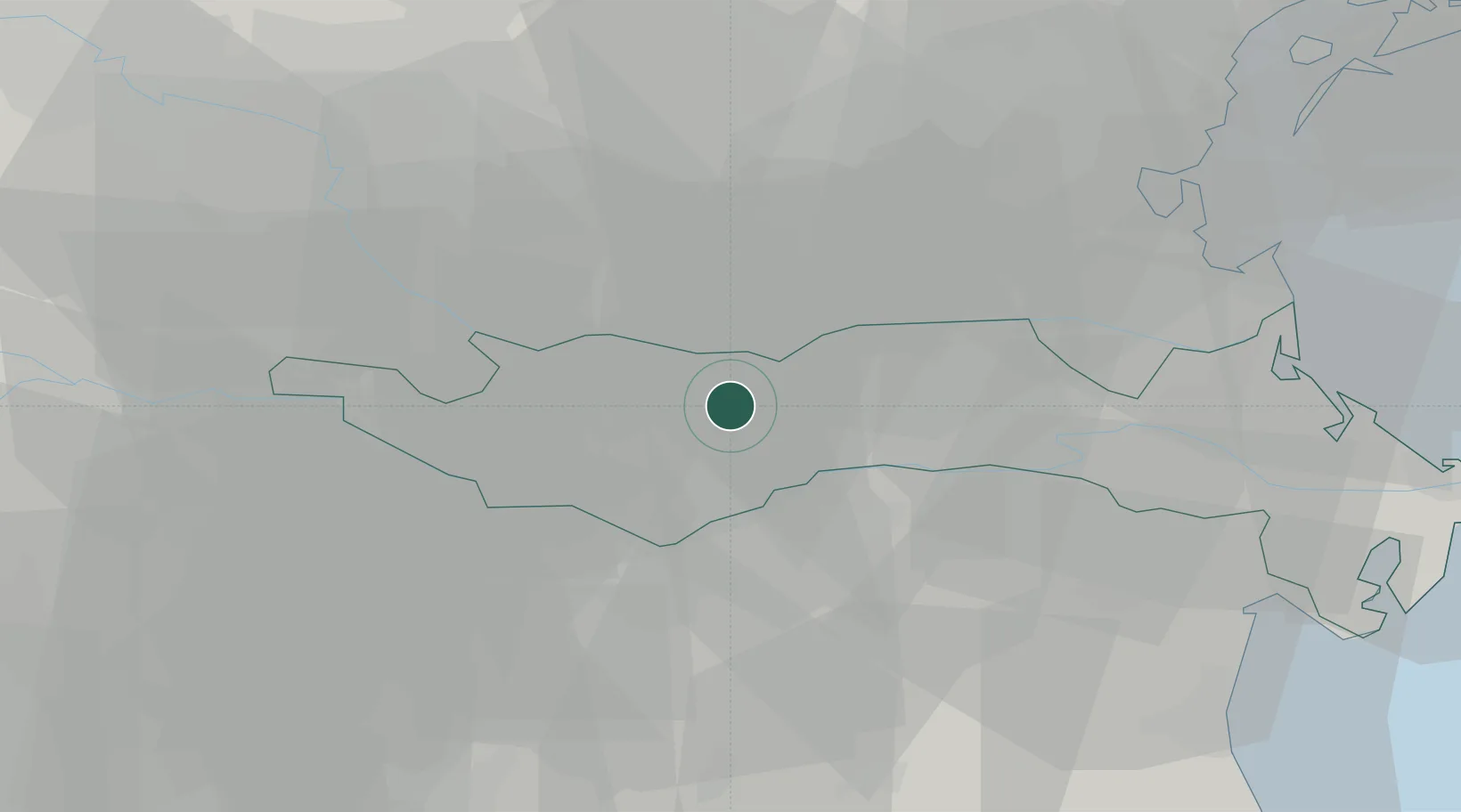
Place type
District seat
Region
Veneto
Population
2,326
Time zone
Europe/Rome
Elevation
9 m
Location
Nearby Logistics Neighbours
Cities
- 1Fratta Polesine6 km
- 2Villamarzana13 km
- 3Sant'Elena15 km
- 4Vighizzolo D Este16 km
- 5Badia Polesine17 km
Ports
- 1Porto Di Chioggia51 km
- 2Porto Garibaldi60 km
- 3Porto Di Lido-Venezia70 km
- 4Porto Di Corsini77 km
- 5Cesenatico109 km
Airports
Trade Zones
DatabookThe Record of Consolidated Knowledge
Italy beyond logistics?