Transport Functions
Rail
Road
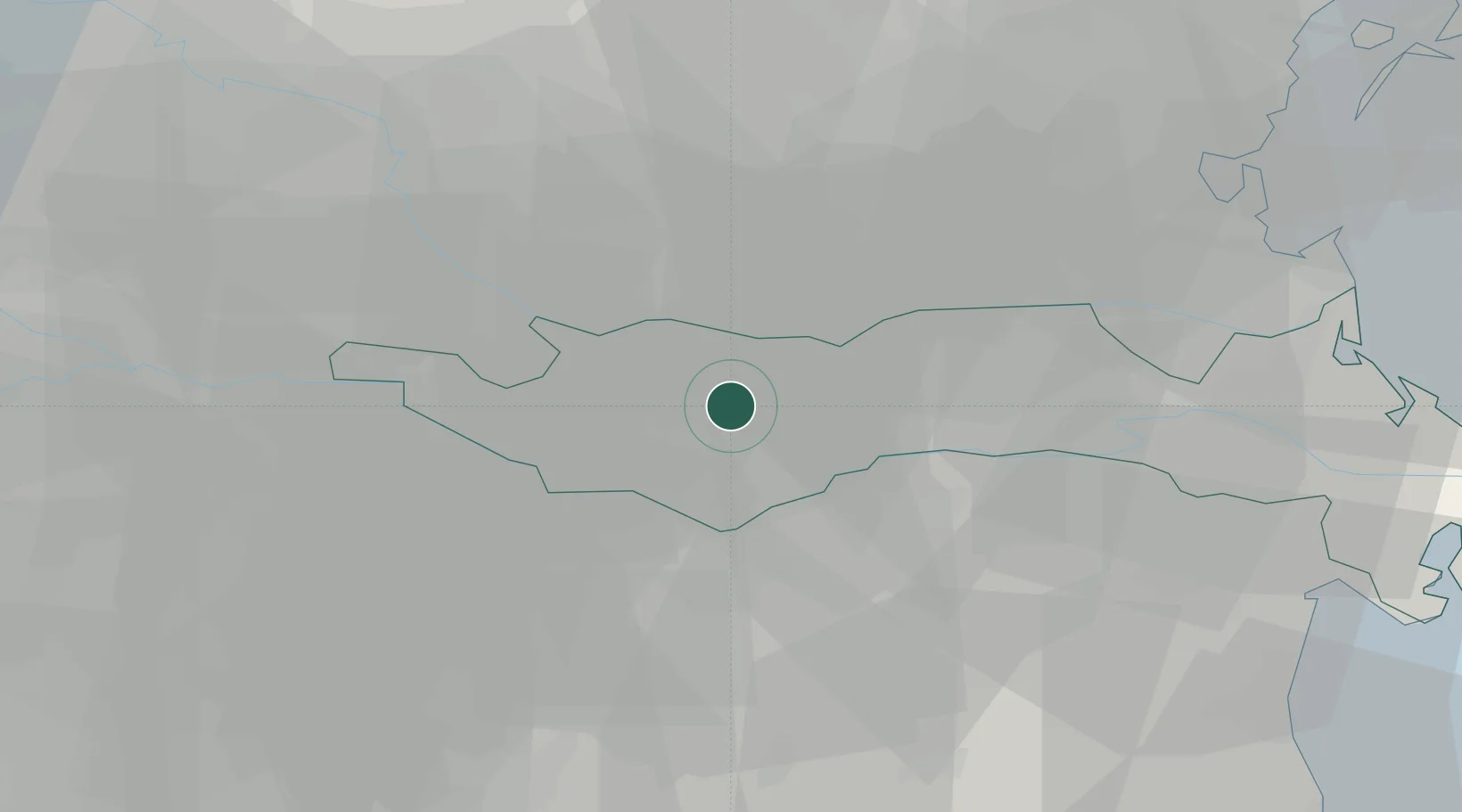
Hub Profile
Place type
District seat
Region
Veneto
Population
1,932
Time zone
Europe/Rome
Elevation
11 m
Location
Nearby Logistics Neighbours
Cities
- 1Costa di Rovigo6 km
- 2Badia Polesine13 km
- 3Trecenta13 km
- 4Santa Maria Maddalena15 km
- 5Villamarzana15 km
Ports
- 1Porto Di Chioggia57 km
- 2Porto Garibaldi63 km
- 3Porto Di Lido-Venezia76 km
- 4Porto Di Corsini79 km
- 5Cesenatico110 km
Airports
Trade Zones
DatabookThe Record of Consolidated Knowledge
Italy beyond logistics?