Transport Functions
Multimodal
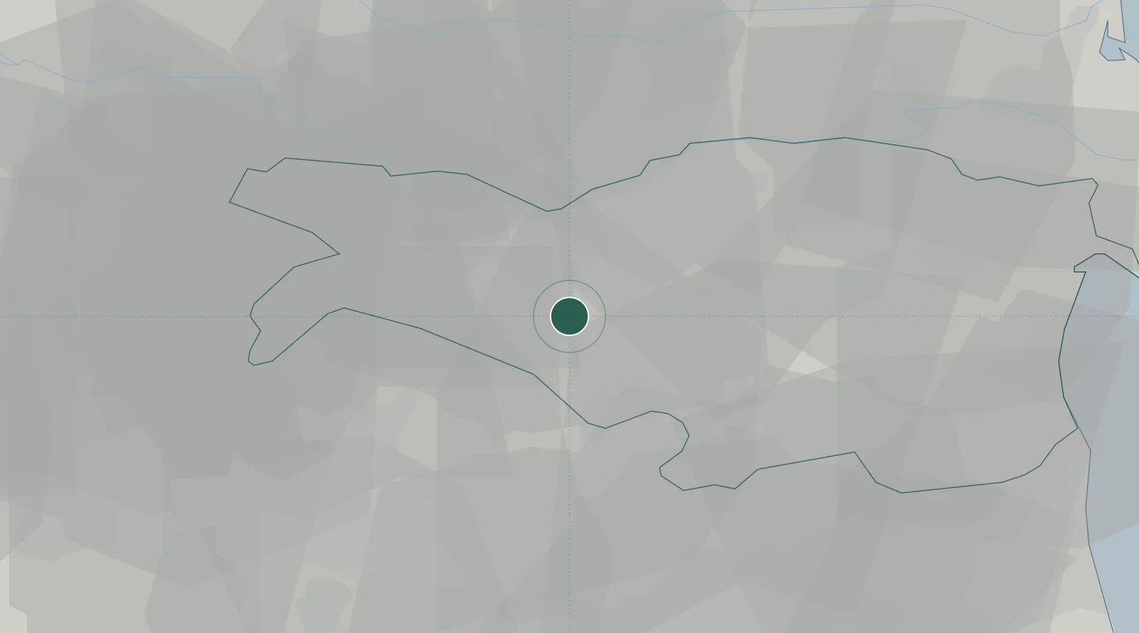
Hub Profile
Region
FE
Location
Nearby Logistics Neighbours
Cities
- 1Poggio Renatico13 km
- 2San Prospero15 km
- 3Santa Maria Maddalena15 km
- 4Formignana17 km
- 5San Vincenzo di Galliera18 km
Ports
- 1Porto Garibaldi49 km
- 2Porto Di Corsini59 km
- 3Porto Di Chioggia73 km
- 4Cesenatico87 km
- 5Porto Di Lido-Venezia95 km
Airports
Trade Zones
DatabookThe Record of Consolidated Knowledge
Italy beyond logistics?