Transport Functions
Port
Airport
Hub Profile
Place type
District seat
Region
Sicily
Population
4,065
Time zone
Europe/Rome
Elevation
16 m
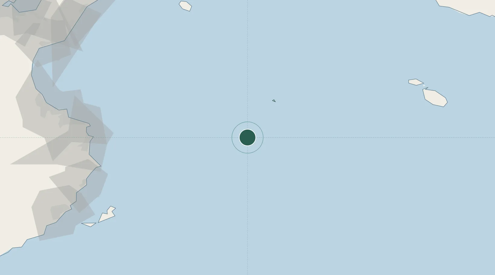
Location
Nearby Logistics Neighbours
Cities
- 1Oudna121 km
- 2Chebba139 km
- 3Mahdia140 km
- 4Tazerka Terminal148 km
- 5Bu Hajar158 km
Ports
- 1Mahdia139 km
- 2Tazerka Oil Terminal148 km
- 3Pantelleria160 km
- 4Ashtart Oil Terminal175 km
- 5Bouri Oil Field178 km
Airports
- 1Lampedusa Airport2 km
- 2Pantelleria Airport157 km
- 3Xewkija Heliport162 km
- 4Monastir Habib Bourguiba International Airport169 km
- 5Malta International Airport175 km
Trade Zones
DatabookThe Record of Consolidated Knowledge
Italy beyond logistics?