Transport Functions
Road
Multimodal
Hub Profile
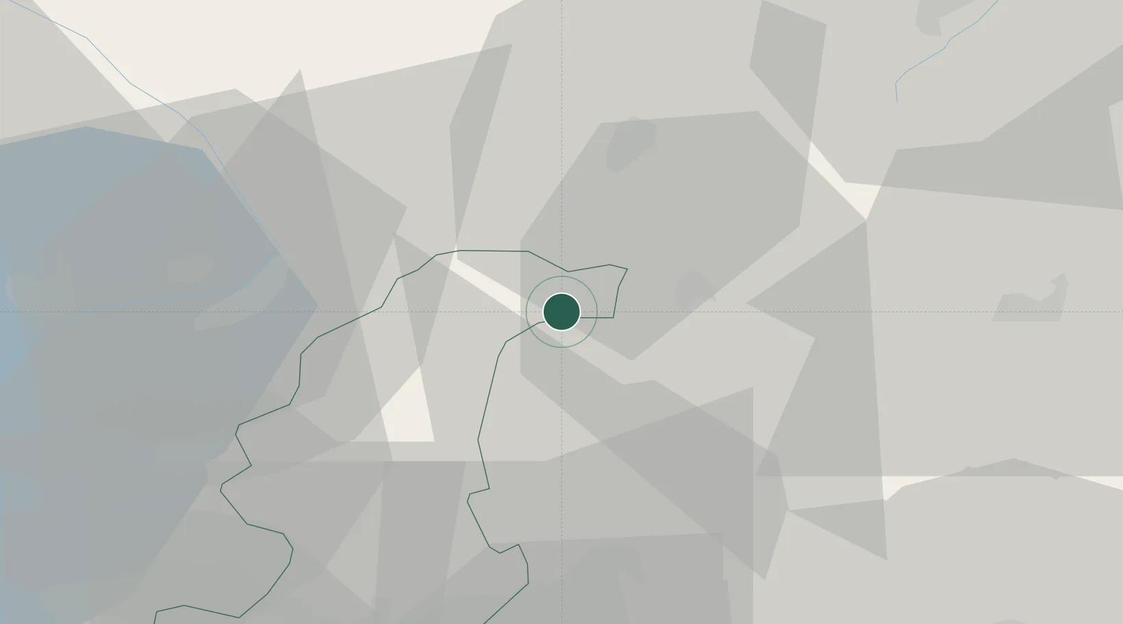
Place type
District seat
Region
Lombardy
Population
667
Time zone
Europe/Rome
Elevation
201 m
Location
Nearby Logistics Neighbours
Cities
- 1Andalo Valtellino10 km
- 2Rogolo10 km
- 3Cercino10 km
- 4Mese15 km
- 5Plesio17 km
Ports
- 1Genova200 km
- 2Chiavari - Lavagna207 km
- 3Savona217 km
- 4Rada Di Vado223 km
- 5La Spezia233 km
Airports
Trade Zones
DatabookThe Record of Consolidated Knowledge
Italy beyond logistics?