Transport Functions
Road
Multimodal
Hub Profile
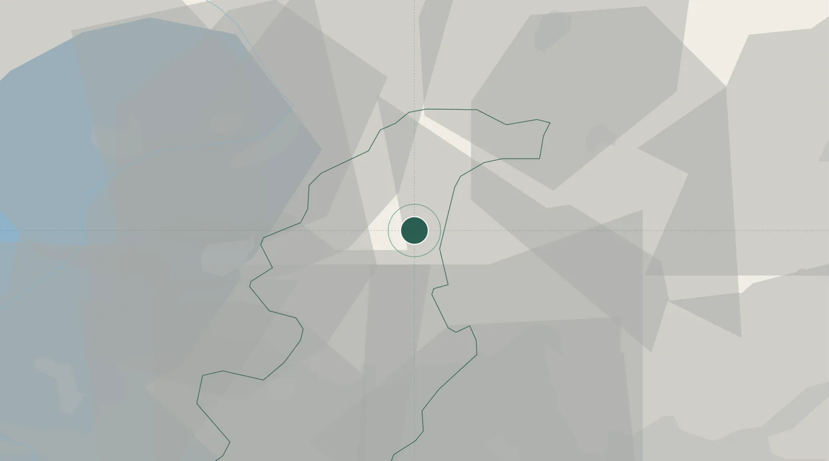
Place type
District seat
Region
Lombardy
Population
550
Time zone
Europe/Rome
Elevation
595 m
Location
Nearby Logistics Neighbours
Cities
- 1Cortenova13 km
- 2Gera Lario17 km
- 3Mandello del Lario18 km
- 4Abbadia Lariana18 km
- 5Lanzo d'Intelvi19 km
Ports
- 1Genova185 km
- 2Chiavari - Lavagna194 km
- 3Savona201 km
- 4Rada Di Vado208 km
- 5La Spezia222 km
Airports
Trade Zones
DatabookThe Record of Consolidated Knowledge
Italy beyond logistics?