Transport Functions
Multimodal
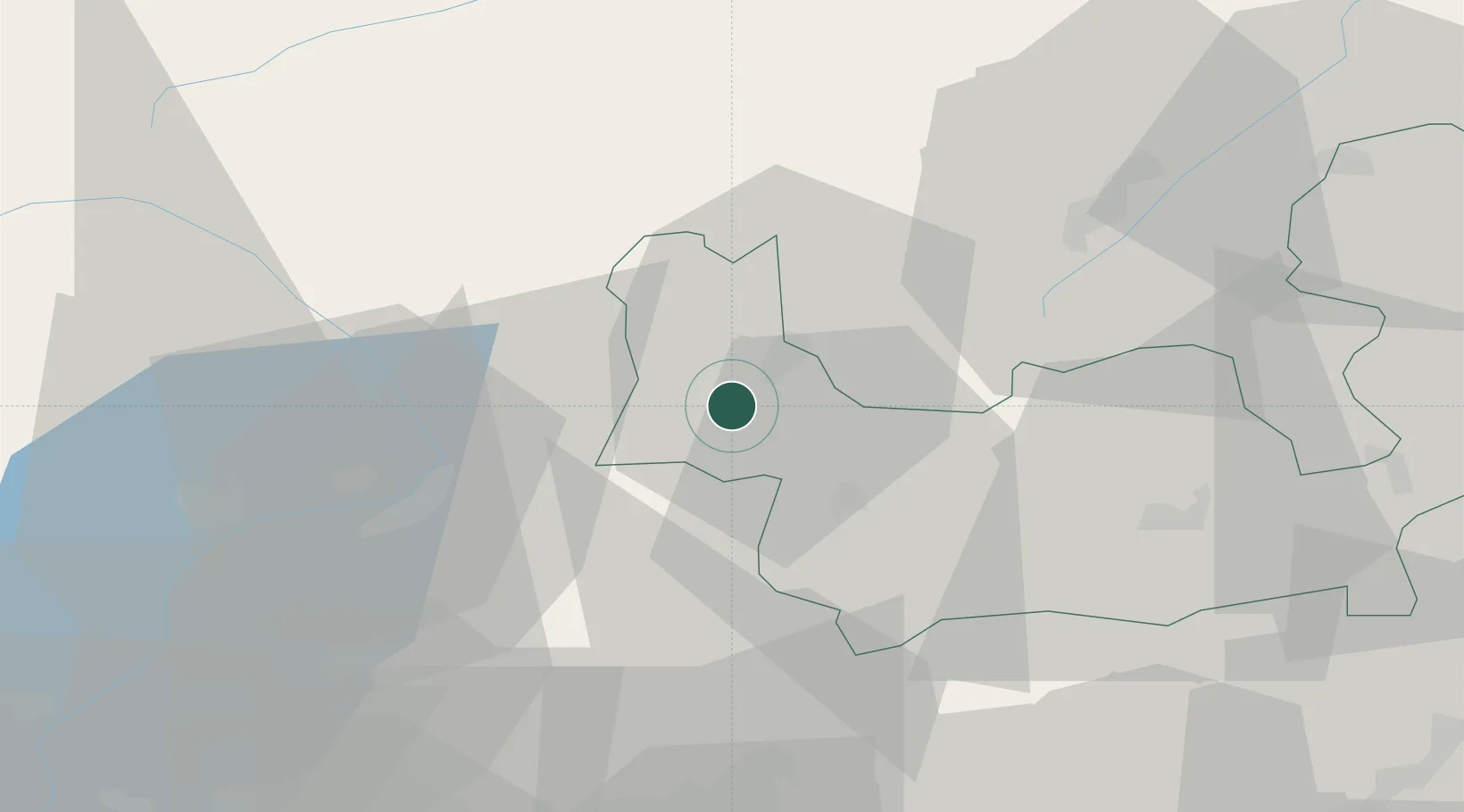
Hub Profile
Place type
District seat
Region
Lombardy
Population
1,619
Time zone
Europe/Rome
Elevation
267 m
Location
Nearby Logistics Neighbours
Cities
- 1Gera Lario15 km
- 2Cercino19 km
- 3Rogolo20 km
- 4Andalo Valtellino21 km
- 5San Vittore22 km
Ports
- 1Genova215 km
- 2Chiavari - Lavagna222 km
- 3Savona231 km
- 4Rada Di Vado238 km
- 5La Spezia247 km
Airports
Trade Zones
DatabookThe Record of Consolidated Knowledge
Italy beyond logistics?