Transport Functions
Rail
Road
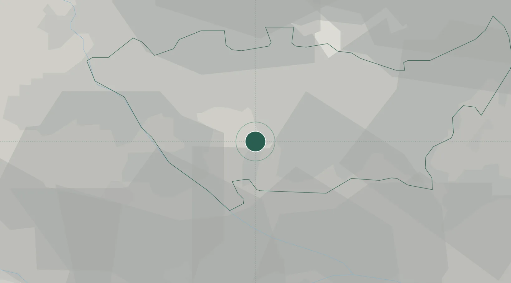
Hub Profile
Place type
District seat
Region
Lombardy
Population
6,851
Time zone
Europe/Rome
Elevation
117 m
Location
Nearby Logistics Neighbours
Cities
- 1Rosate6 km
- 2Vernate9 km
- 3Quinto de Stampi11 km
- 4Basiglio12 km
- 5Lacchiarella12 km
Ports
- 1Genova112 km
- 2Chiavari - Lavagna124 km
- 3Savona128 km
- 4Rada Di Vado134 km
- 5La Spezia158 km
Airports
Trade Zones
- 1Magazzini Generali Con Chiasso50 km
- 2Livigno Free Trade Zone150 km
- 3Aosta Valley177 km
- 4Port Franc Vevey225 km
- 5Consorzio Zona Industriale e Porto Fluviale di Padova226 km
DatabookThe Record of Consolidated Knowledge
Italy beyond logistics?