UN/LOCODE hub · Italy
ITRST

Rosate

45.3500°, 9.0000°
5,158
Population
2
Transport functions

Transport Functions

Road
Multimodal
UN/LOCODE

Hub Profile

Place type
District seat
GeoNames
Region
Lombardy
GeoNames
Population
5,158
GeoNames
Time zone
Europe/Rome
GeoNames
Elevation
107 m
GeoNames

Location

Location of ITRST
Natural Earth 10m (public domain) · Lombardy · ITRST · 45.35, 9.00GoogleOSMYandex

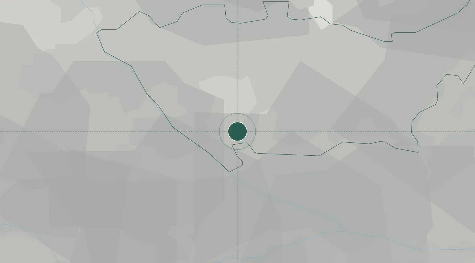
Nearby Logistics Neighbours

Cities
  1. 1Vernate5 km
  2. 2Gaggiano6 km
  3. 3Lacchiarella11 km
  4. 4Giussago13 km
  5. 5Basiglio13 km
Nearest neighbours — logibook spatial index (haversine) over the source coordinates
Ports
  1. 1Genova106 km
  2. 2Chiavari - Lavagna119 km
  3. 3Savona122 km
  4. 4Rada Di Vado128 km
  5. 5La Spezia154 km
Nearest neighbours — logibook spatial index (haversine) over the source coordinates
Airports
  1. 1Milano Linate Airport24 km
  2. 2Cameri Air Base33 km
  3. 3Milan Malpensa International Airport38 km
  4. 4Varese-Venegono Airport45 km
  5. 5Novi Ligure Eugenio Mossi Airfield66 km
Nearest neighbours — logibook spatial index (haversine) over the source coordinates
Trade Zones
  1. 1Magazzini Generali Con Chiasso55 km
  2. 2Livigno Free Trade Zone157 km
  3. 3Aosta Valley176 km
  4. 4ZFU LAriane224 km
  5. 5Port Franc Vevey226 km
Nearest neighbours — logibook spatial index (haversine) over the source coordinates
DatabookThe Record of Consolidated Knowledge
Italy beyond logistics?
Browse databook

All Sources

LocationsUN/LOCODE
UN/LOCODE — free
LocationsGeoNames
CC BY 4.0
Portsthe NGA World Port Index
Public domain (US gov)
AirportsOurAirports
Public domain
Trade Zonesthe World Bank SEZ database
CC BY 4.0
Trade ZonesOpen Zone Map
CC BY
← Italy locations