Transport Functions
Road
Multimodal
Hub Profile
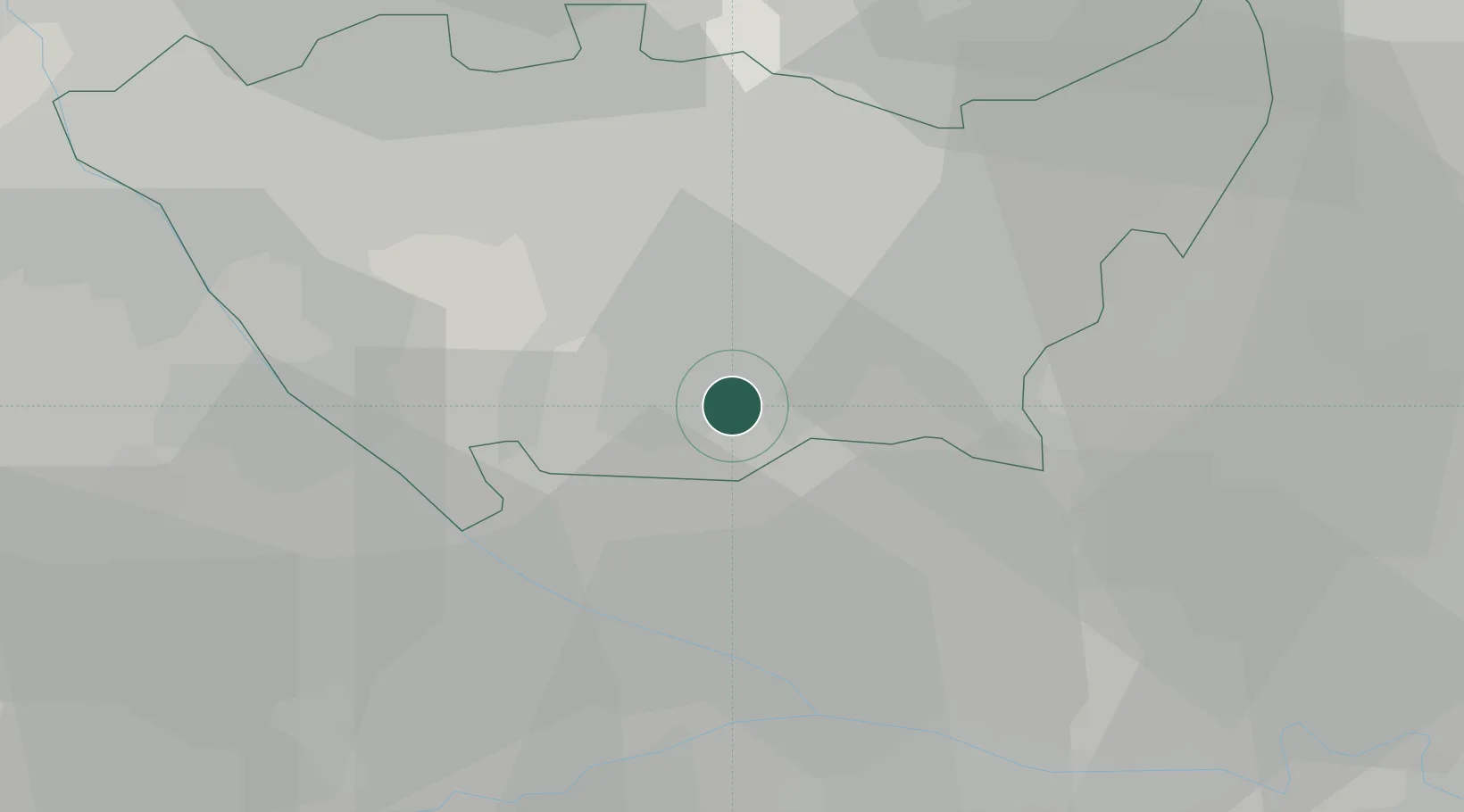
Place type
District seat
Region
Lombardy
Population
7,390
Time zone
Europe/Rome
Elevation
97 m
Location
Nearby Logistics Neighbours
Cities
- 1Pieve Emanuele3 km
- 2Quinto de Stampi4 km
- 3Lacchiarella5 km
- 4Giussago8 km
- 5Sesto Ulteriano9 km
Ports
- 1Genova108 km
- 2Chiavari - Lavagna117 km
- 3Savona126 km
- 4Rada Di Vado133 km
- 5La Spezia149 km
Airports
Trade Zones
- 1Magazzini Generali Con Chiasso58 km
- 2Livigno Free Trade Zone150 km
- 3Aosta Valley188 km
- 4Consorzio Zona Industriale e Porto Fluviale di Padova216 km
- 5ZFU LAriane233 km
DatabookThe Record of Consolidated Knowledge
Italy beyond logistics?