Transport Functions
Rail
Road
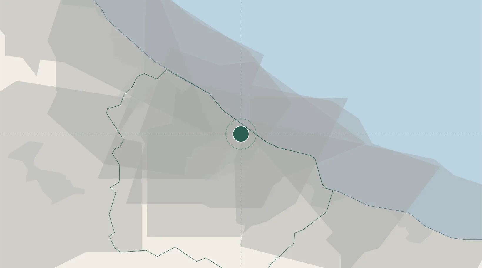
Hub Profile
Place type
District seat
Region
Abruzzo
Population
3,644
Time zone
Europe/Rome
Elevation
140 m
Location
Nearby Logistics Neighbours
Cities
- 1Lanciano8 km
- 2Poggiofiorito14 km
- 3Tollo17 km
- 4Giuliano Teatino17 km
- 5Francavilla al Mare25 km
Ports
- 1Ortona12 km
- 2Vasto24 km
- 3Pescara31 km
- 4Giulianova70 km
- 5San Benedetto Del Tronto93 km
Airports
- 1Abruzzo Airport32 km
- 2San Domino Island Heliport84 km
- 3Foggia Gino Lisa Airport126 km
- 4Amendola Air Base129 km
- 5Eliporto Peschici131 km
Trade Zones
DatabookThe Record of Consolidated Knowledge
Italy beyond logistics?