Transport Functions
Multimodal
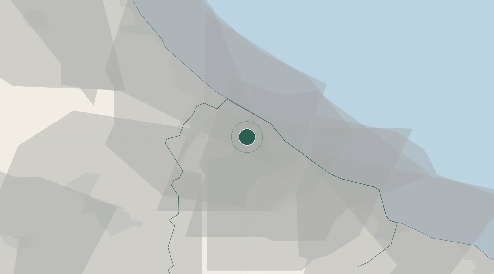
Hub Profile
Place type
District seat
Region
Abruzzo
Population
3,093
Time zone
Europe/Rome
Elevation
152 m
Location
Nearby Logistics Neighbours
Cities
- 1Giuliano Teatino5 km
- 2Poggiofiorito9 km
- 3Francavilla al Mare10 km
- 4Lanciano12 km
- 5Chieti Scalo15 km
Ports
- 1Ortona8 km
- 2Pescara16 km
- 3Vasto41 km
- 4Giulianova55 km
- 5San Benedetto Del Tronto78 km
Airports
- 1Abruzzo Airport15 km
- 2San Domino Island Heliport100 km
- 3Guidonia Air Base135 km
- 4Foggia Gino Lisa Airport142 km
- 5Grazzanise Air Base143 km
Trade Zones
DatabookThe Record of Consolidated Knowledge
Italy beyond logistics?