Transport Functions
Rail
Road
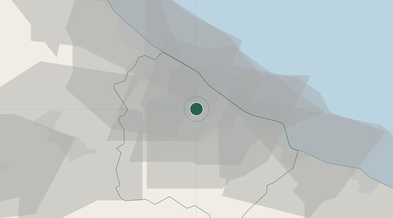
Hub Profile
Place type
District seat
Region
Abruzzo
Population
34,791
Time zone
Europe/Rome
Elevation
265 m
Location
Nearby Logistics Neighbours
Cities
- 1Poggiofiorito6 km
- 2Fossacesia8 km
- 3Giuliano Teatino11 km
- 4Tollo12 km
- 5Francavilla al Mare22 km
Ports
- 1Ortona13 km
- 2Pescara28 km
- 3Vasto30 km
- 4Giulianova67 km
- 5San Benedetto Del Tronto90 km
Airports
- 1Abruzzo Airport28 km
- 2San Domino Island Heliport92 km
- 3Foggia Gino Lisa Airport130 km
- 4Grazzanise Air Base133 km
- 5Amendola Air Base135 km
DatabookThe Record of Consolidated Knowledge
Italy beyond logistics?