UN/LOCODE hub · Italy
ITEVA

Ceva

44.3833°, 8.0333°
4,378
Population
2
Transport functions

Transport Functions

Rail
Road
UN/LOCODE

Hub Profile

Place type
District seat
GeoNames
Region
Piedmont
GeoNames
Population
4,378
GeoNames
Time zone
Europe/Rome
GeoNames
Elevation
376 m
GeoNames

Location

Location of ITEVA
Natural Earth 10m (public domain) · Piedmont · ITEVA · 44.38, 8.03GoogleOSMYandex

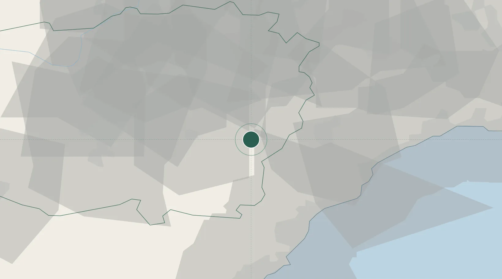
Nearby Logistics Neighbours

Cities
  1. 1Niella Tanaro10 km
  2. 2Belvedere Langhe14 km
  3. 3Farigliano17 km
  4. 4Magliano Alpi21 km
  5. 5San Giuseppe di Cairo21 km
Nearest neighbours — logibook spatial index (haversine) over the source coordinates
Ports
  1. 1Rada Di Vado36 km
  2. 2Savona38 km
  3. 3Imperia56 km
  4. 4San Remo66 km
  5. 5Genova71 km
Nearest neighbours — logibook spatial index (haversine) over the source coordinates
Airports
  1. 1Cuneo International Airport37 km
  2. 2Riviera Villanova d'Albenga International Airport38 km
  3. 3Genoa Cristoforo Colombo Airport64 km
  4. 4Novi Ligure Eugenio Mossi Airfield74 km
  5. 5Torino-Aeritalia Airport85 km
Nearest neighbours — logibook spatial index (haversine) over the source coordinates
Trade Zones
  1. 1ZFU LAriane93 km
  2. 2Aosta Valley178 km
  3. 3Magazzini Generali Con Chiasso178 km
  4. 4ZFU Grenoble206 km
  5. 5ZFU Toulon219 km
Nearest neighbours — logibook spatial index (haversine) over the source coordinates
DatabookThe Record of Consolidated Knowledge
Italy beyond logistics?
Browse databook

All Sources

LocationsUN/LOCODE
UN/LOCODE — free
LocationsGeoNames
CC BY 4.0
Portsthe NGA World Port Index
Public domain (US gov)
AirportsOurAirports
Public domain
Trade Zonesthe World Bank SEZ database
CC BY 4.0
Trade ZonesOpen Zone Map
CC BY
← Italy locations