Transport Functions
Rail
Road
Hub Profile
Place type
Populated place
Region
Lazio
Population
34
Time zone
Europe/Rome
Elevation
138 m
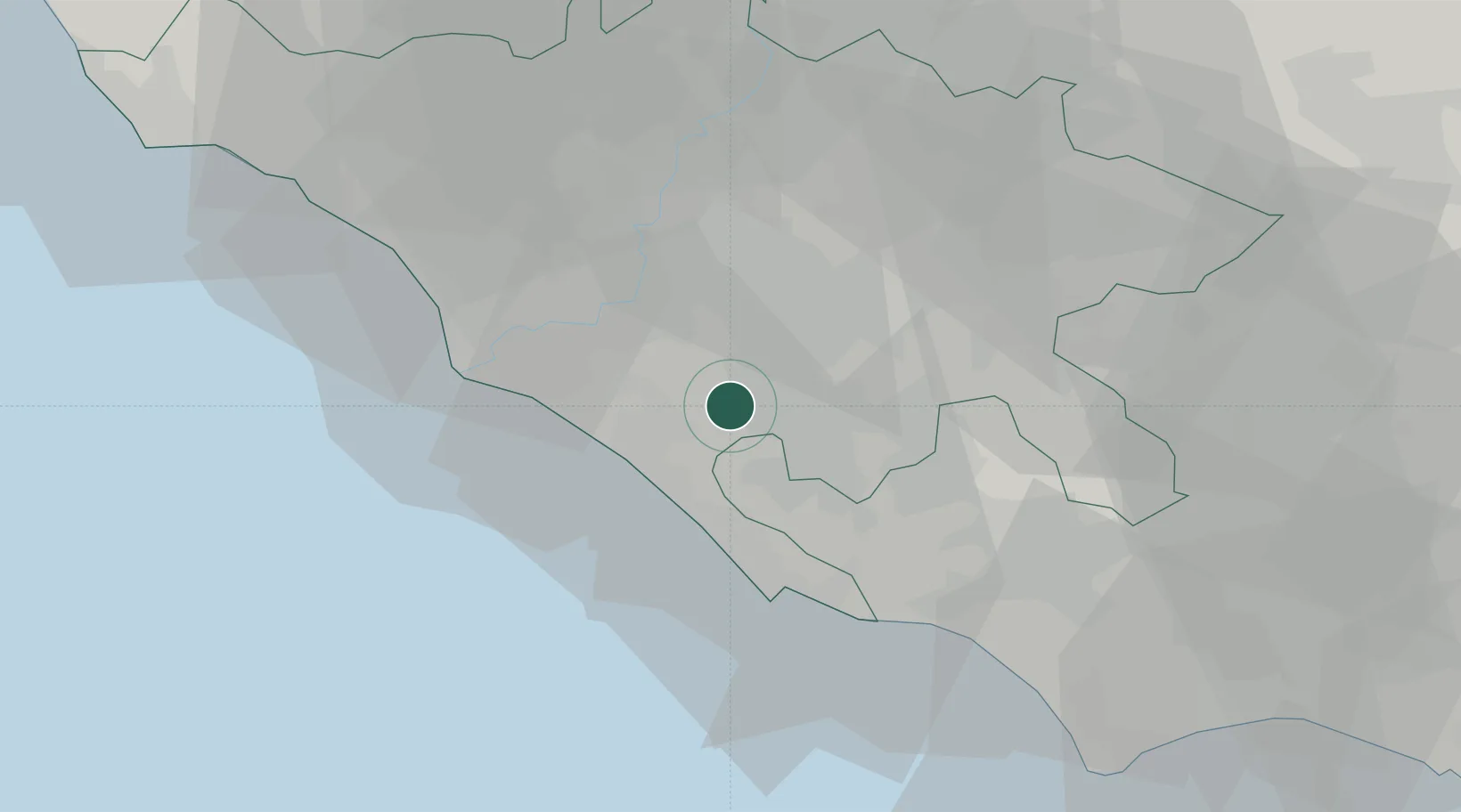
Location
Nearby Logistics Neighbours
Cities
- 1Pomezia1 km
- 2Pavona3 km
- 3Albano Laziale7 km
- 4Genzano di Roma8 km
- 5Lanuvio10 km
Ports
- 1Anzio - Nettuno29 km
- 2Fiumicino32 km
- 3San Felice Circeo68 km
- 4Terracina73 km
- 5Civitavecchia81 km
Airports
DatabookThe Record of Consolidated Knowledge
Italy beyond logistics?