Transport Functions
Rail
Road
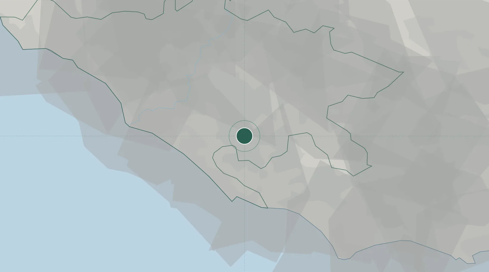
Hub Profile
Place type
District seat
Region
Lazio
Population
20,582
Time zone
Europe/Rome
Elevation
435 m
Location
Nearby Logistics Neighbours
Cities
- 1Lanuvio4 km
- 2Albano Laziale5 km
- 3Pavona6 km
- 4Santa Palomba8 km
- 5Velletri9 km
Ports
- 1Anzio - Nettuno29 km
- 2Fiumicino40 km
- 3San Felice Circeo63 km
- 4Terracina67 km
- 5Civitavecchia88 km
Airports
- 1Ciampino–G. B. Pastine International Airport13 km
- 2Pratica Di Mare Air Base20 km
- 3Latina Air Base26 km
- 4Rome Urbe Airport32 km
- 5Guidonia Air Base33 km
DatabookThe Record of Consolidated Knowledge
Italy beyond logistics?