Transport Functions
Rail
Road
Hub Profile
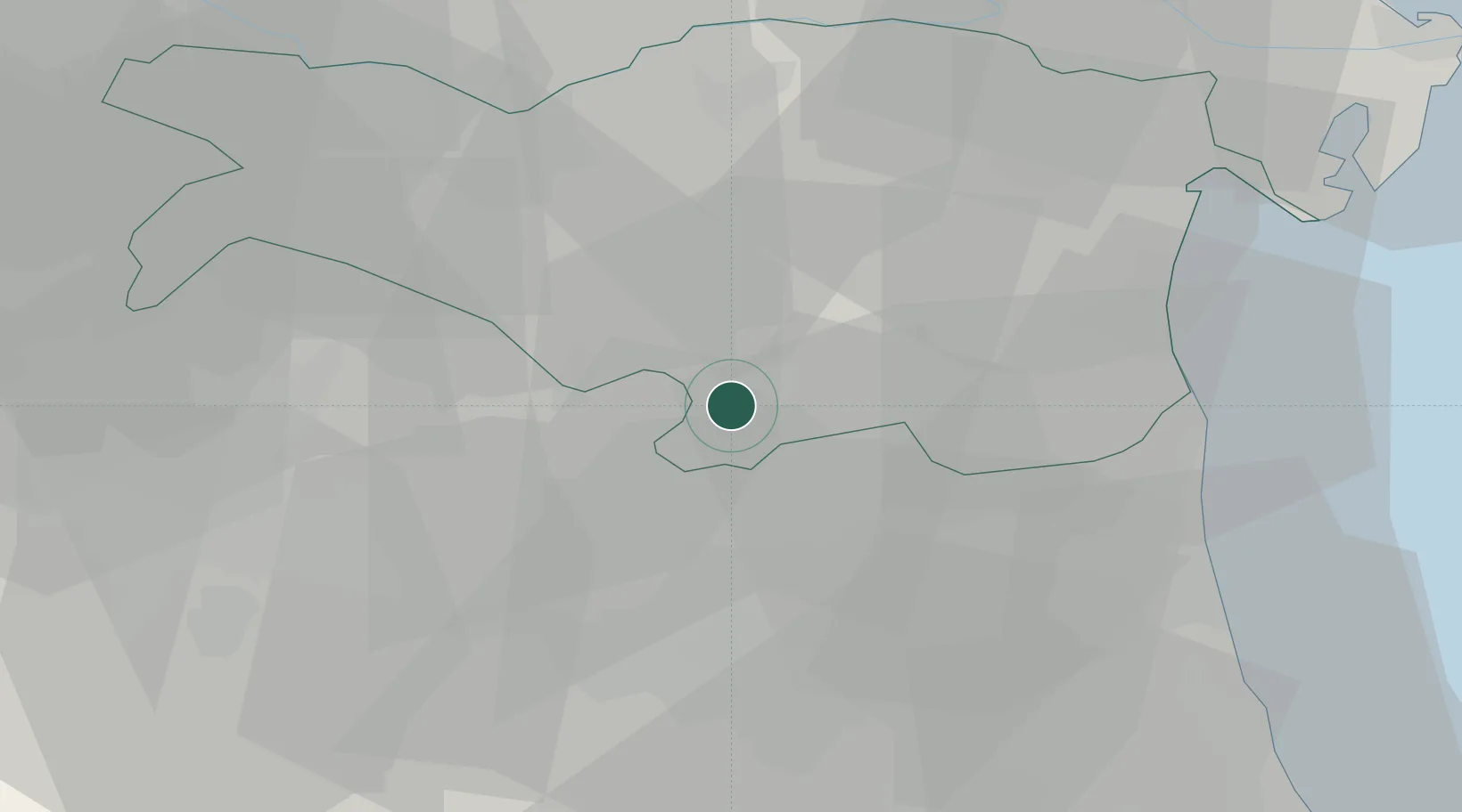
Place type
District seat
Region
Emilia-Romagna
Population
7,064
Time zone
Europe/Rome
Elevation
4 m
Location
Nearby Logistics Neighbours
Cities
- 1Longastrino14 km
- 2Ostellato17 km
- 3Sant'Agata sul Santerno20 km
- 4Alfonsine22 km
- 5Gaibanella22 km
Ports
- 1Porto Garibaldi34 km
- 2Porto Di Corsini39 km
- 3Cesenatico64 km
- 4Porto Di Chioggia78 km
- 5Rimini84 km
Airports
Trade Zones
DatabookThe Record of Consolidated Knowledge
Italy beyond logistics?