Transport Functions
Multimodal
Hub Profile
Place type
Populated place
Region
Emilia-Romagna
Population
1,280
Time zone
Europe/Rome
Elevation
2 m
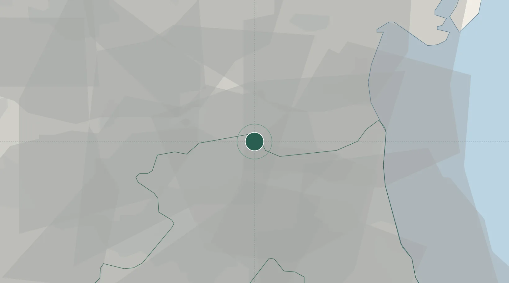
Location
Nearby Logistics Neighbours
Cities
- 1Alfonsine10 km
- 2Argenta14 km
- 3Comacchio18 km
- 4Ostellato19 km
- 5Piangipane20 km
Ports
- 1Porto Garibaldi23 km
- 2Porto Di Corsini25 km
- 3Cesenatico53 km
- 4Rimini72 km
- 5Porto Di Chioggia76 km
Airports
Trade Zones
DatabookThe Record of Consolidated Knowledge
Italy beyond logistics?