Transport Functions
Rail
Road
Multimodal
Hub Profile
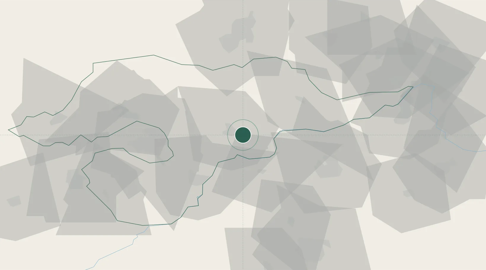
Place type
Populated place
Region
Borsod-Abaúj-Zemplén
Population
2,549
Time zone
Europe/Budapest
Elevation
94 m
Location
Nearby Logistics Neighbours
Cities
- 1Tarcal7 km
- 2Tokaj12 km
- 3Erdobenye15 km
- 4Abaújszántó16 km
- 5Tiszalök17 km
Ports
- 1Senj600 km
- 2Bakar603 km
- 3Braila605 km
- 4Omisalj607 km
- 5Rijeka Luka607 km
Airports
Trade Zones
DatabookThe Record of Consolidated Knowledge
Hungary beyond logistics?