Transport Functions
Multimodal
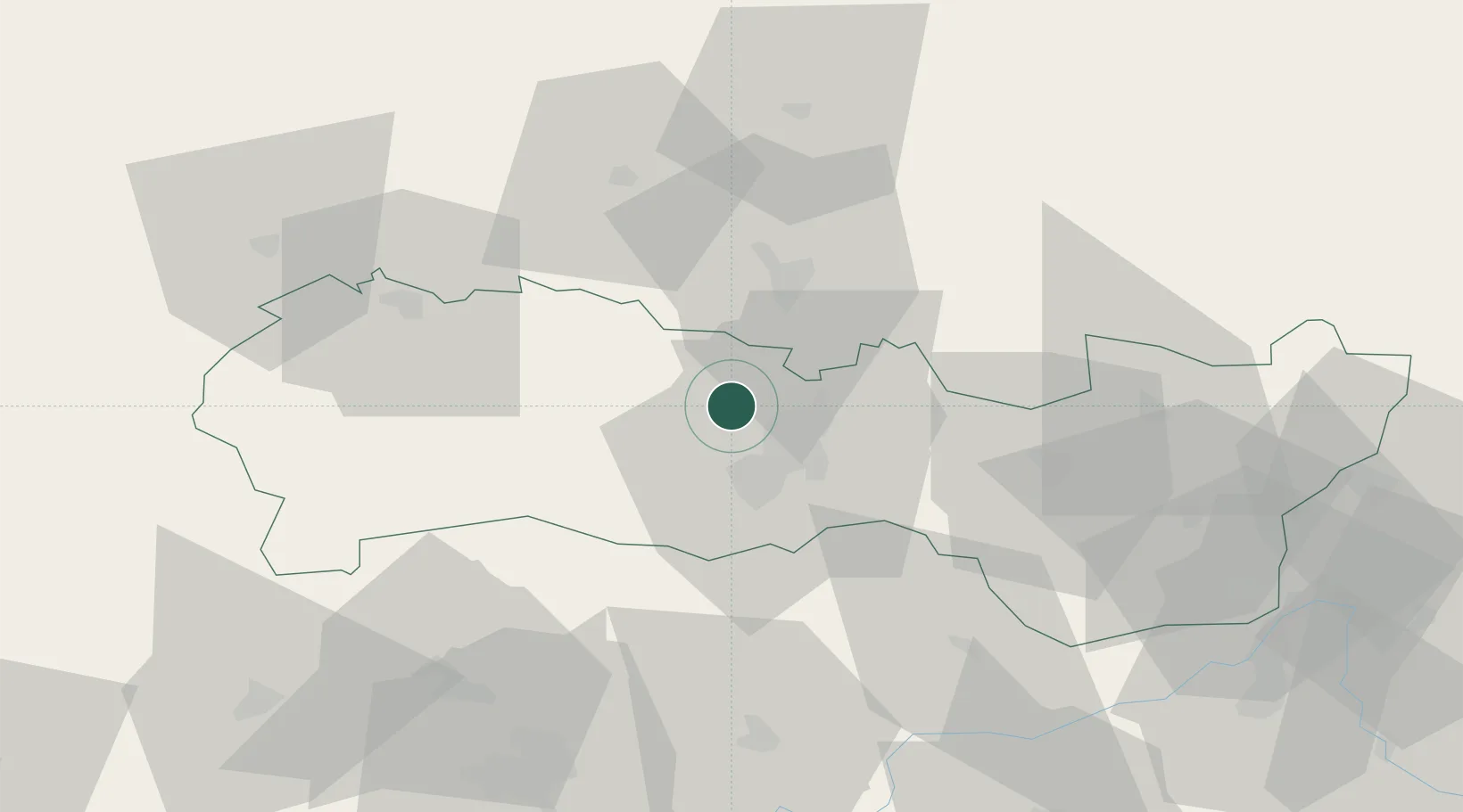
Hub Profile
Place type
Populated place
Region
Borsod-Abaúj-Zemplén
Time zone
Europe/Budapest
Elevation
243 m
Location
Nearby Logistics Neighbours
Cities
- 1Kosice13 km
- 2Sady nad Torysou15 km
- 3Gelnica18 km
- 4Petrovany19 km
- 5Prakovce19 km
Ports
- 1Bakar632 km
- 2Senj634 km
- 3Rijeka Luka636 km
- 4Omisalj637 km
- 5Gdansk644 km
Airports
- 1Košice International Airport13 km
- 2Poprad-Tatry Airport75 km
- 3Uzhhorod International Airport83 km
- 4Debrecen International Airport146 km
- 5Sliač Airport149 km
Trade Zones
DatabookThe Record of Consolidated Knowledge
Hungary beyond logistics?