Transport Functions
Port
Road
Hub Profile
Region
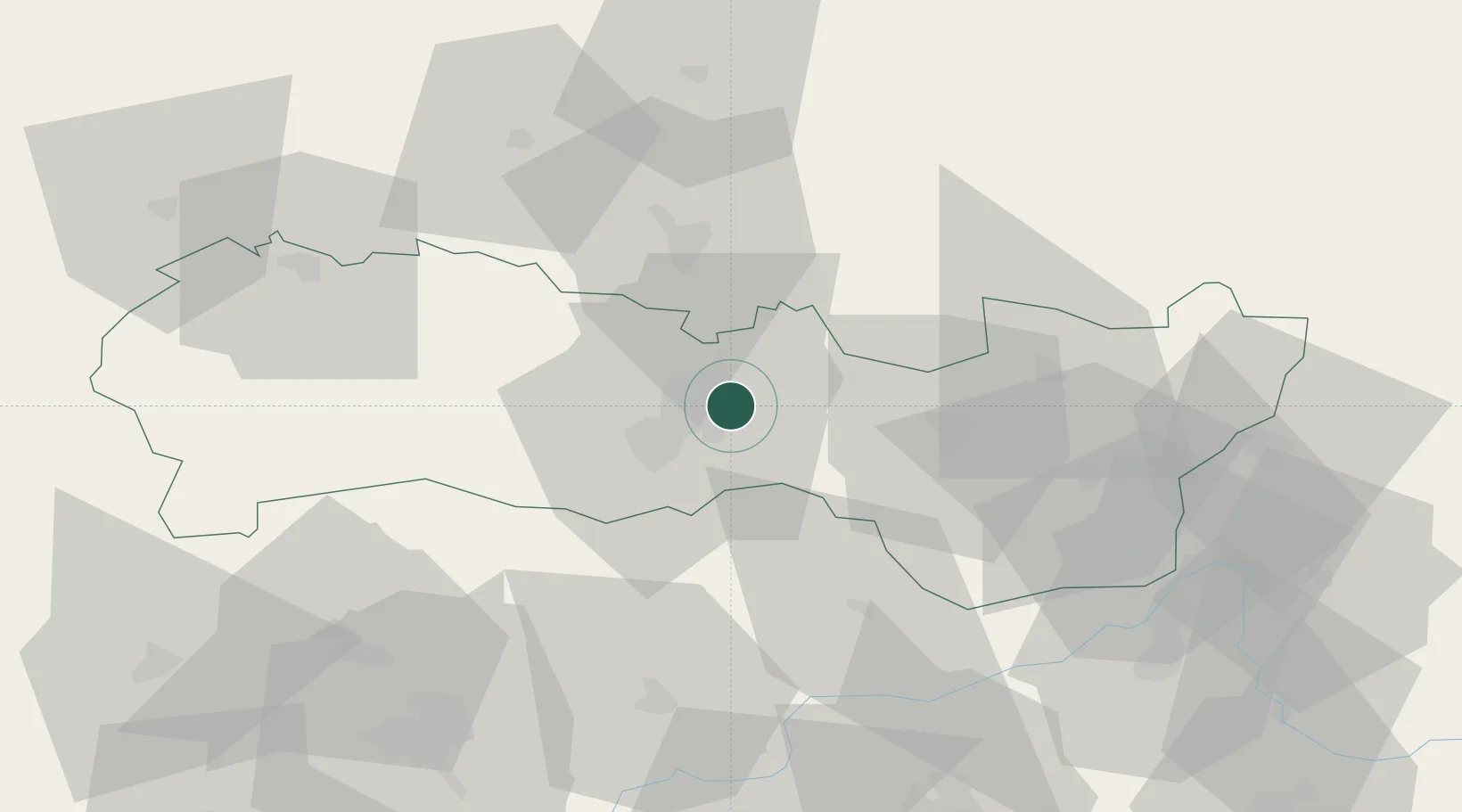
KI
Location
Nearby Logistics Neighbours
Cities
- 1Kosice7 km
- 2Szemere15 km
- 3Kechnec17 km
- 4Secovce23 km
- 5Hidasnémeti23 km
Ports
- 1Braila633 km
- 2Bakar639 km
- 3Senj640 km
- 4Rijeka Luka643 km
- 5Omisalj644 km
Airports
Trade Zones
DatabookThe Record of Consolidated Knowledge
Slovakia beyond logistics?