Transport Functions
Multimodal
Hub Profile
Place type
Populated place
Region
Košice Region
Population
3,344
Time zone
Europe/Bratislava
Elevation
387 m
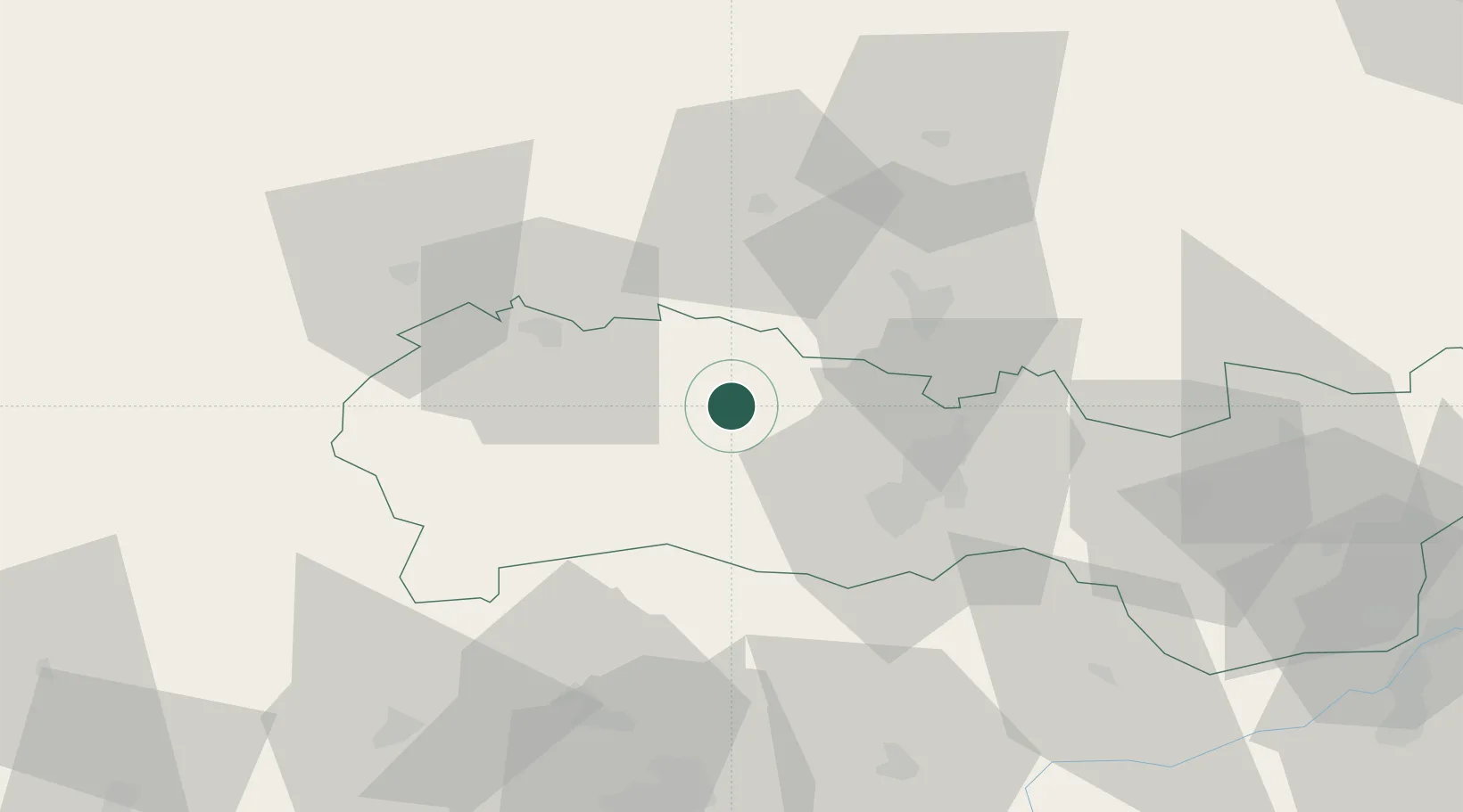
Location
Nearby Logistics Neighbours
Cities
- 1Gelnica4 km
- 2Krompachy11 km
- 3Szemere19 km
- 4Spisske Podhradie23 km
- 5Dvorniky25 km
Ports
- 1Bakar621 km
- 2Senj624 km
- 3Rijeka Luka624 km
- 4Omisalj626 km
- 5Gdansk634 km
Airports
- 1Košice International Airport30 km
- 2Poprad-Tatry Airport56 km
- 3Uzhhorod International Airport102 km
- 4Sliač Airport131 km
- 5Debrecen International Airport157 km
Trade Zones
- 1Customs Free Zone Zahony103 km
- 2Transcarpathian Special Economic Zone (Zakarpattia)104 km
- 3Kraków Technology Park153 km
- 4Euro-Park Mielec172 km
- 5Göd Special Economic Zone180 km
DatabookThe Record of Consolidated Knowledge
Slovakia beyond logistics?