Transport Functions
Rail
Road
Hub Profile
Place type
Provincial seat
Region
Košice Region
Population
5,829
Time zone
Europe/Bratislava
Elevation
363 m
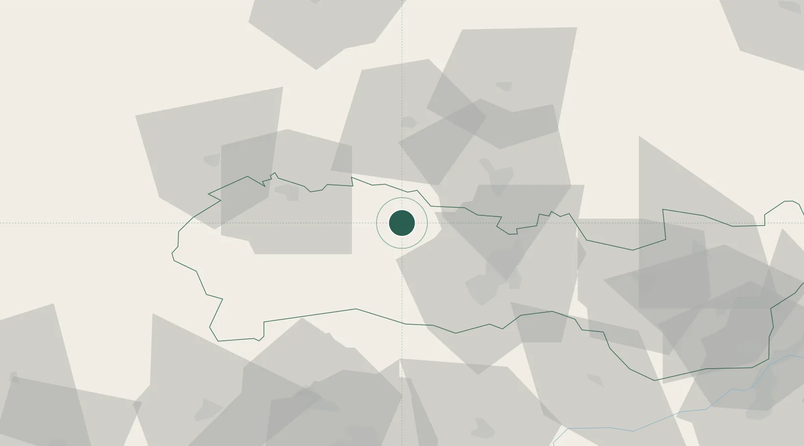
Location
Nearby Logistics Neighbours
Cities
- 1Prakovce4 km
- 2Krompachy9 km
- 3Szemere18 km
- 4Spisske Podhradie21 km
- 5Petrovany26 km
Ports
- 1Bakar625 km
- 2Senj628 km
- 3Rijeka Luka628 km
- 4Omisalj630 km
- 5Gdansk631 km
Airports
- 1Košice International Airport31 km
- 2Poprad-Tatry Airport56 km
- 3Uzhhorod International Airport100 km
- 4Sliač Airport134 km
- 5Debrecen International Airport160 km
Trade Zones
- 1Transcarpathian Special Economic Zone (Zakarpattia)103 km
- 2Customs Free Zone Zahony103 km
- 3Kraków Technology Park151 km
- 4Euro-Park Mielec167 km
- 5Göd Special Economic Zone185 km
DatabookThe Record of Consolidated Knowledge
Slovakia beyond logistics?