Transport Functions
Rail
Road
Airport
Postal
Hub Profile
Place type
Regional capital
Region
Košice Region
Population
225,044
Time zone
Europe/Bratislava
Elevation
205 m
Logistics facilities
3
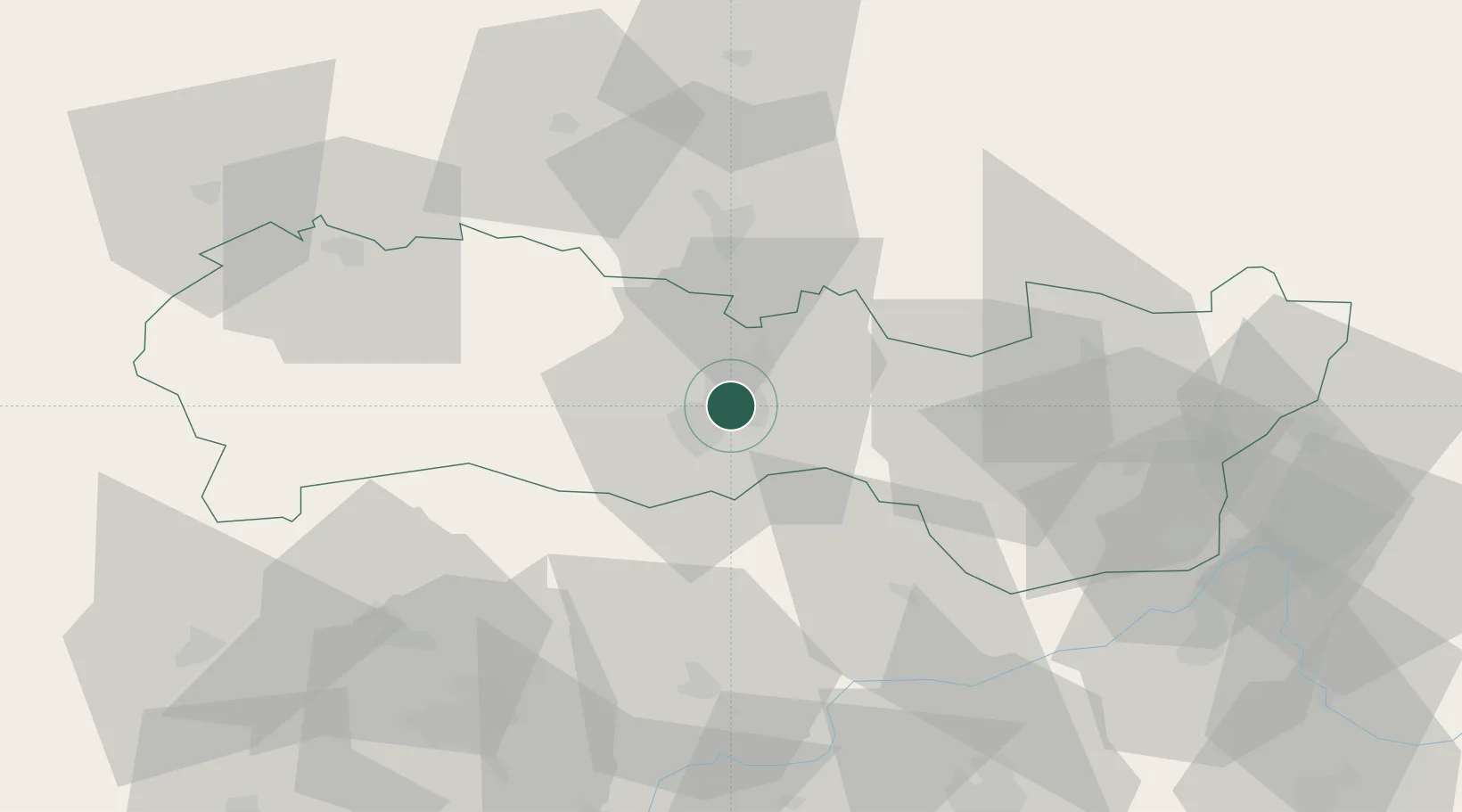
Location
Nearby Logistics Neighbours
Cities
- 1Sady nad Torysou7 km
- 2Szemere13 km
- 3Kechnec14 km
- 4Hidasnémeti19 km
- 5Buzica21 km
Ports
- 1Bakar633 km
- 2Senj634 km
- 3Rijeka Luka636 km
- 4Braila636 km
- 5Omisalj637 km
Airports
- 1Košice International Airport2 km
- 2Uzhhorod International Airport74 km
- 3Poprad-Tatry Airport86 km
- 4Debrecen International Airport134 km
- 5Sliač Airport156 km
Trade Zones
DatabookThe Record of Consolidated Knowledge
Slovakia beyond logistics?