Transport Functions
Multimodal
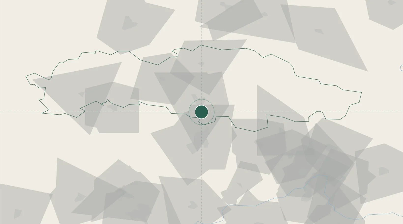
Hub Profile
Place type
Populated place
Region
Prešov Region
Time zone
Europe/Bratislava
Elevation
233 m
Location
Nearby Logistics Neighbours
Cities
- 1Lubotice11 km
- 2Kapusany16 km
- 3Szemere19 km
- 4Hanusovce nad Topl'ou21 km
- 5Sabinov24 km
Ports
- 1Gdansk630 km
- 2Nowy Port637 km
- 3Baltiysk643 km
- 4Kaliningrad645 km
- 5Bakar649 km
Airports
- 1Košice International Airport28 km
- 2Poprad-Tatry Airport77 km
- 3Uzhhorod International Airport80 km
- 4Rzeszów-Jasionka Airport144 km
- 5Sliač Airport159 km
Trade Zones
DatabookThe Record of Consolidated Knowledge
Slovakia beyond logistics?