Transport Functions
Rail
Road
Hub Profile
Place type
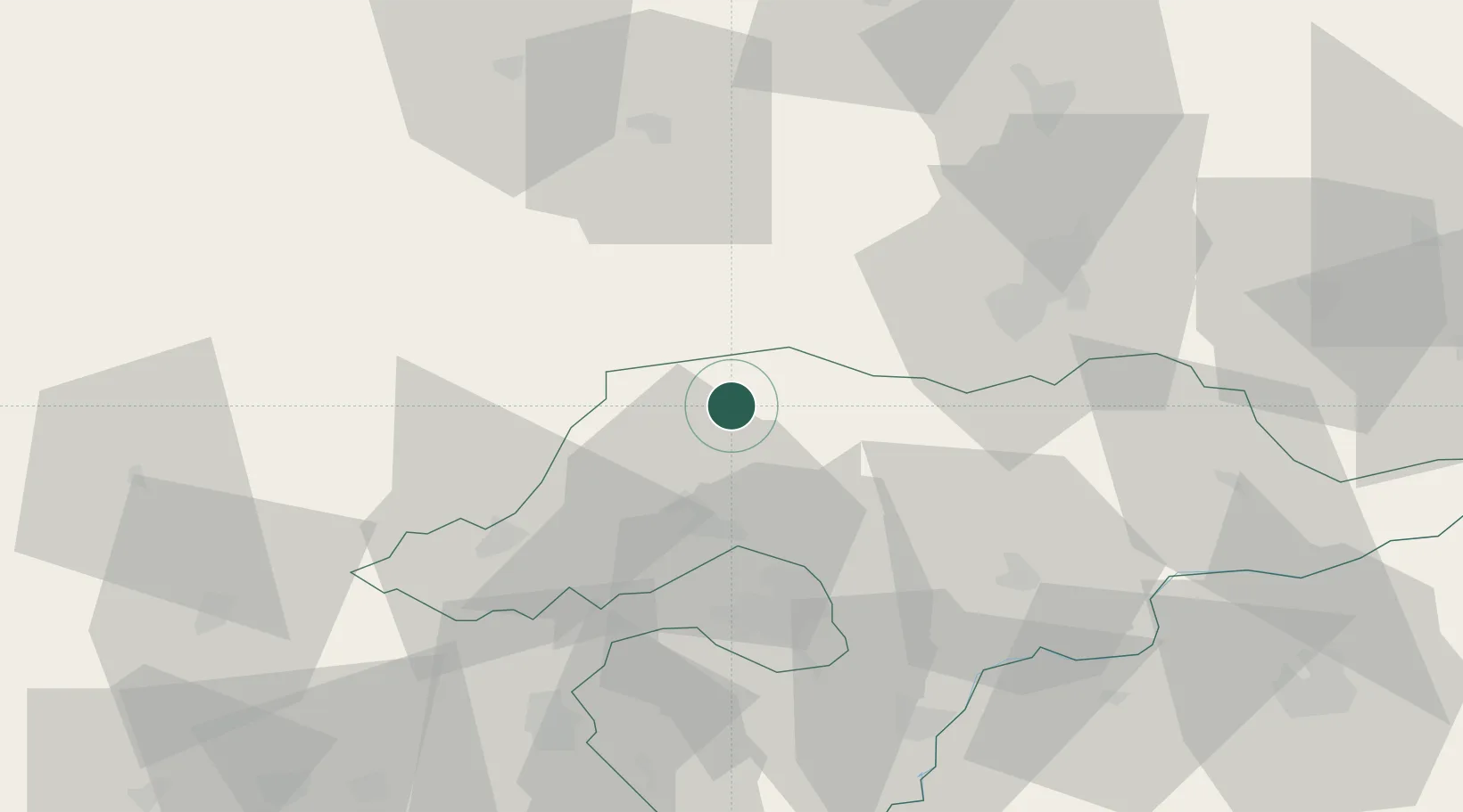
Populated place
Region
Borsod-Abaúj-Zemplén
Time zone
Europe/Budapest
Elevation
211 m
Location
Nearby Logistics Neighbours
Cities
- 1Tornanádaska13 km
- 2Dvorniky18 km
- 3Izsofalva19 km
- 4Plesivec24 km
- 5Fuezesabony24 km
Ports
- 1Bakar586 km
- 2Senj588 km
- 3Rijeka Luka590 km
- 4Omisalj591 km
- 5Zaliv Rasa632 km
Airports
- 1Košice International Airport45 km
- 2Poprad-Tatry Airport75 km
- 3Uzhhorod International Airport117 km
- 4Sliač Airport117 km
- 5Debrecen International Airport128 km
Trade Zones
- 1Customs Free Zone Zahony108 km
- 2Transcarpathian Special Economic Zone (Zakarpattia)118 km
- 3Göd Special Economic Zone144 km
- 4Kraków Technology Park183 km
- 5Euro-Park Mielec213 km
DatabookThe Record of Consolidated Knowledge
Hungary beyond logistics?