Transport Functions
Port
Road
Hub Profile
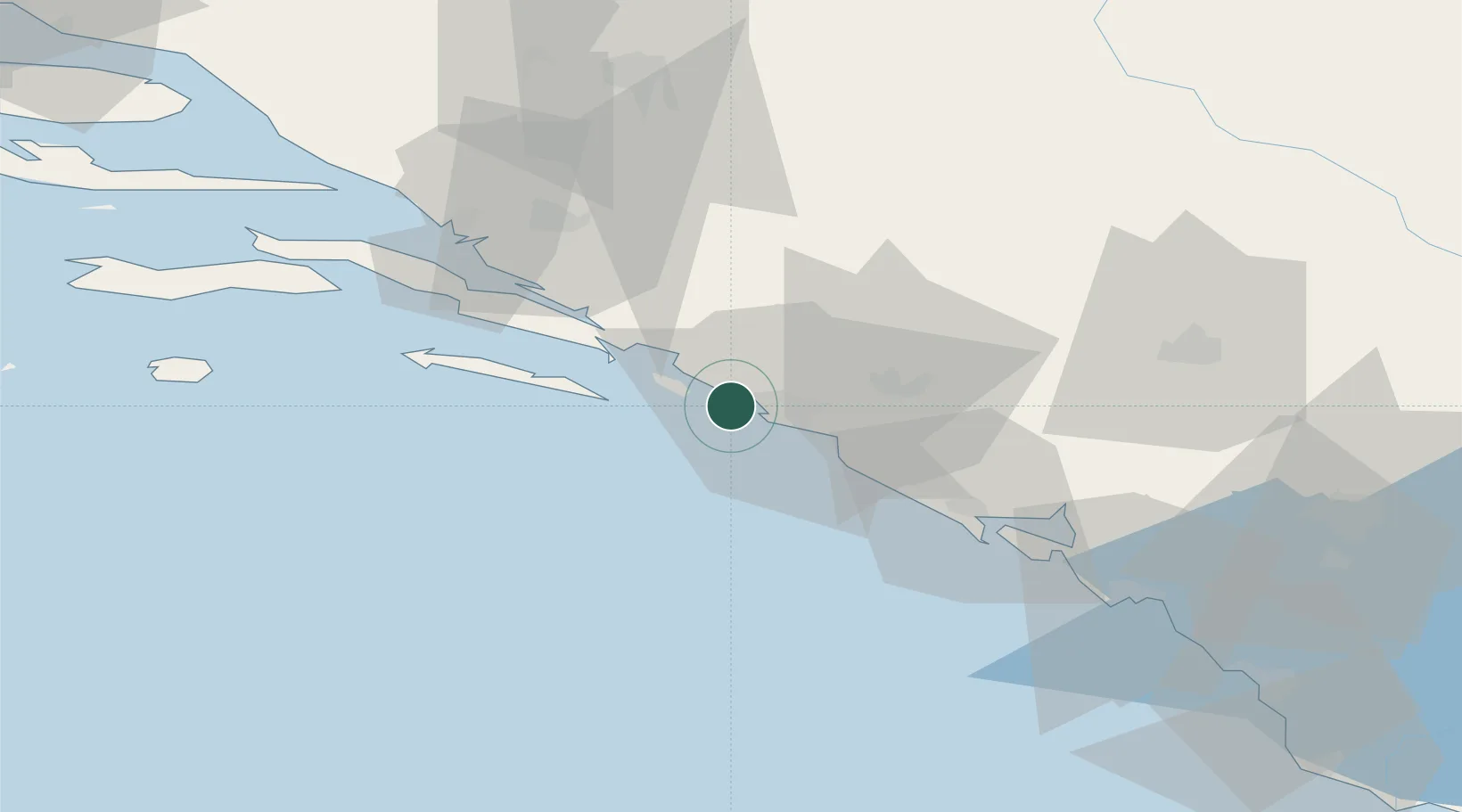
Place type
Populated place
Region
Dubrovnik-Neretva
Time zone
Europe/Zagreb
Elevation
12 m
Location
Nearby Logistics Neighbours
Airports
Trade Zones
DatabookThe Record of Consolidated Knowledge
Croatia beyond logistics?