Transport Functions
Port
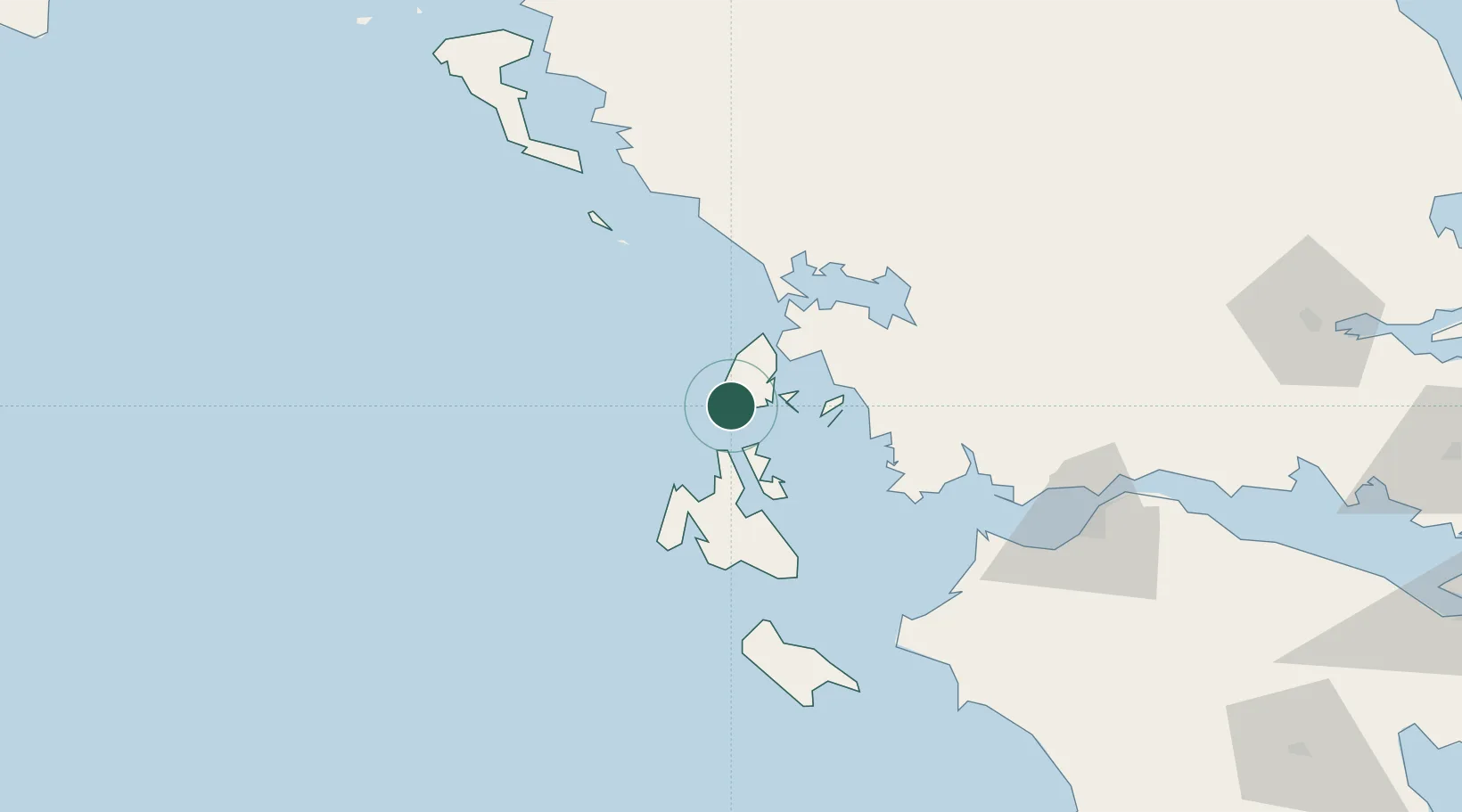
Location
Nearby Logistics Neighbours
Cities
- 1Nidhríon15 km
- 2Meganísi16 km
- 3Frikes Ithakis18 km
- 4Fiskárdo19 km
- 5Lefkáda (Lefkás)26 km
Ports
- 1Preveza40 km
- 2Astakos47 km
- 3Argostolion49 km
- 4Mesolongion78 km
- 5Patrai108 km
Airports
Trade Zones
DatabookThe Record of Consolidated Knowledge
Greece beyond logistics?