UN/LOCODE hub · Greece
GRMGN

Meganísi

38.6667°, 20.7500°
1
Transport functions

Transport Functions

Port
UN/LOCODE

Hub Profile

Region
24
GeoNames

Location

Location of GRMGN
Natural Earth 10m (public domain) · 24 · GRMGN · 38.67, 20.75GoogleOSMYandex

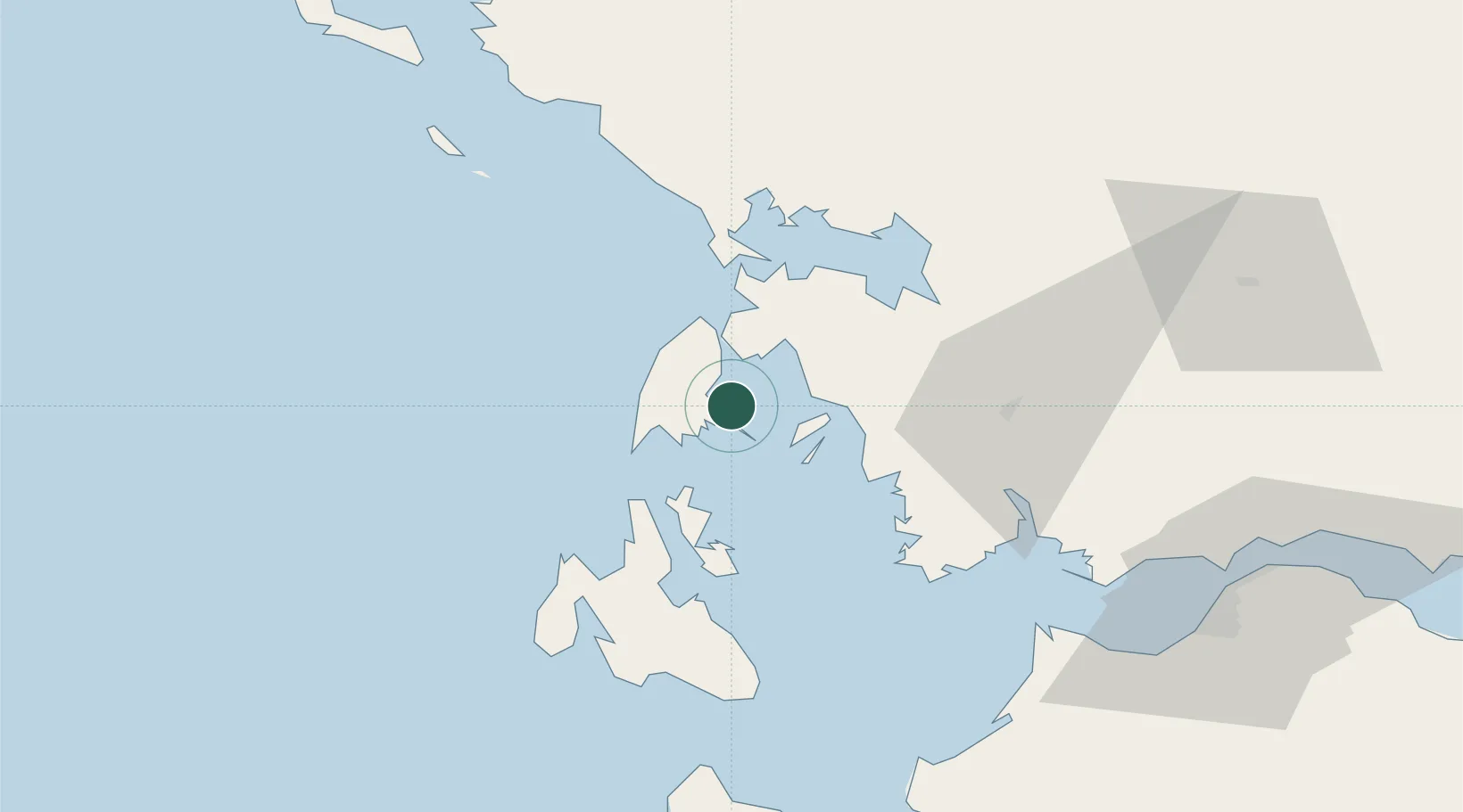
Nearby Logistics Neighbours

Cities
  1. 1Nidhríon5 km
  2. 2Kalamos Island (Lefkada)16 km
  3. 3Vassiliki Leykadas16 km
  4. 4Kastos Island18 km
  5. 5Lefkáda (Lefkás)19 km
Nearest neighbours — logibook spatial index (haversine) over the source coordinates
Ports
  1. 1Preveza32 km
  2. 2Astakos37 km
  3. 3Argostolion58 km
  4. 4Mesolongion67 km
  5. 5Patrai97 km
Nearest neighbours — logibook spatial index (haversine) over the source coordinates
Airports
  1. 1Aktion National Airport29 km
  2. 2Kefallinia Airport65 km
  3. 3Patras Araxos Agamemnon Airport82 km
  4. 4Andravida Air Base96 km
  5. 5Zakynthos International Airport Dionysios Solomos103 km
Nearest neighbours — logibook spatial index (haversine) over the source coordinates
Trade Zones
  1. 1Free Zone of Platigiali (Astakos Etoloakarnanias)37 km
  2. 2Gjirokastër Freezone164 km
  3. 3Përmet Freezone178 km
  4. 4Korçë Freezone219 km
  5. 5Vlora Technical and Economic Development Area231 km
Nearest neighbours — logibook spatial index (haversine) over the source coordinates
DatabookThe Record of Consolidated Knowledge
Greece beyond logistics?
Browse databook

All Sources

LocationsUN/LOCODE
UN/LOCODE — free
Portsthe NGA World Port Index
Public domain (US gov)
AirportsOurAirports
Public domain
Trade Zonesthe World Bank SEZ database
CC BY 4.0
Trade ZonesOpen Zone Map
CC BY
← Greece locations