Transport Functions
Port
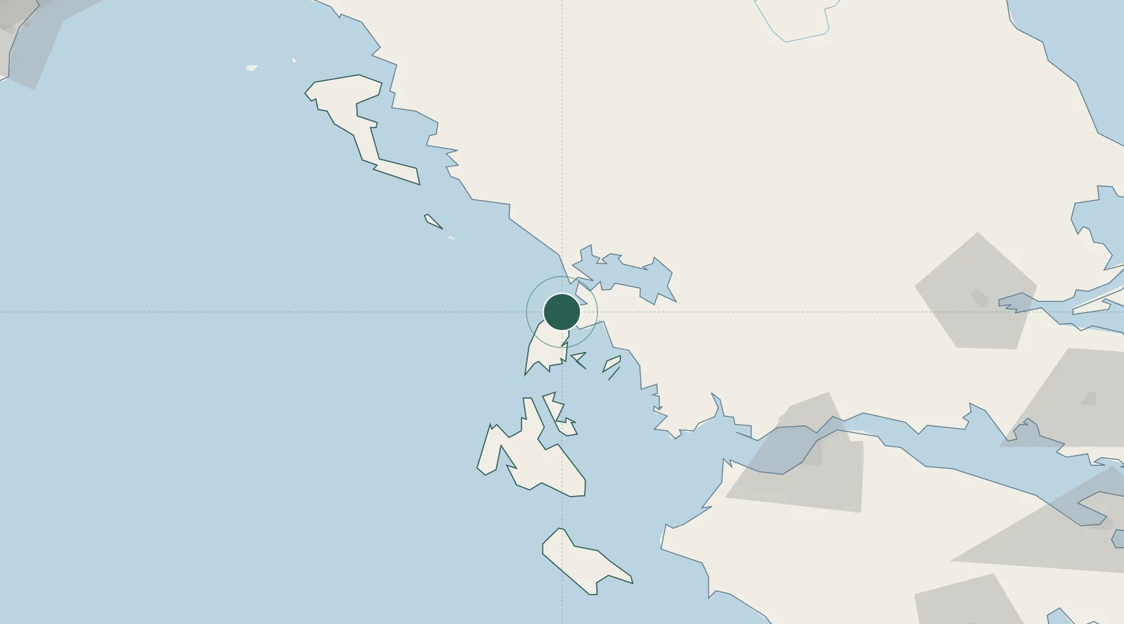
Location
Nearby Logistics Neighbours
Cities
- 1Aktio Vonitsas14 km
- 2Nidhríon15 km
- 3Meganísi19 km
- 4Vassiliki Leykadas26 km
- 5Kalamos Island (Lefkada)31 km
Ports
- 1Preveza14 km
- 2Astakos52 km
- 3Argostolion74 km
- 4Mesolongion81 km
- 5Kerkira109 km
Airports
Trade Zones
DatabookThe Record of Consolidated Knowledge
Greece beyond logistics?