Transport Functions
Port
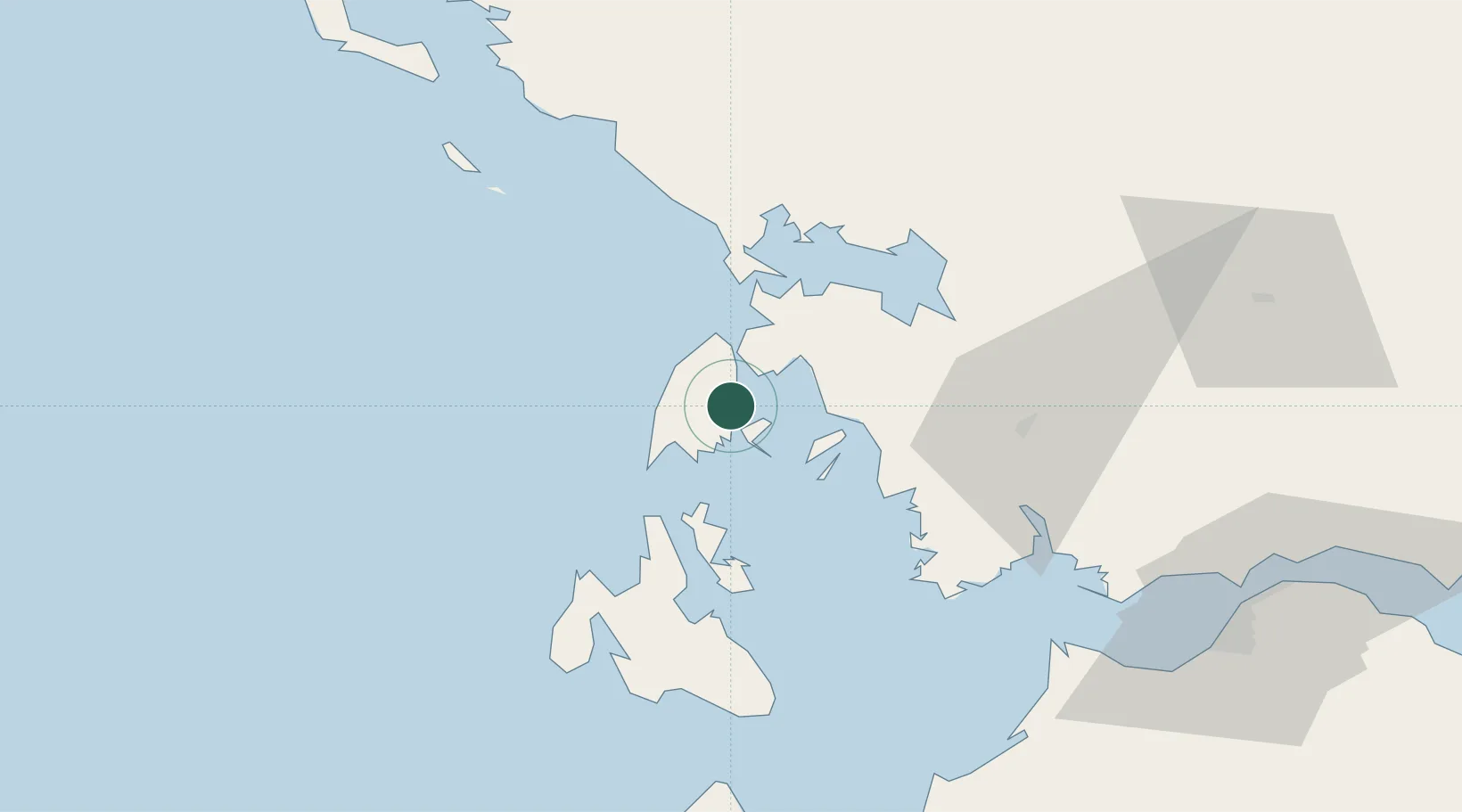
Hub Profile
Place type
Populated place
Region
Ionian Islands
Population
971
Time zone
Europe/Athens
Elevation
3 m
Location
Nearby Logistics Neighbours
Cities
- 1Meganísi5 km
- 2Vassiliki Leykadas15 km
- 3Lefkáda (Lefkás)15 km
- 4Kalamos Island (Lefkada)20 km
- 5Kastos Island23 km
Ports
- 1Preveza28 km
- 2Astakos41 km
- 3Argostolion60 km
- 4Mesolongion71 km
- 5Patrai102 km
Airports
Trade Zones
DatabookThe Record of Consolidated Knowledge
Greece beyond logistics?