Transport Functions
Port
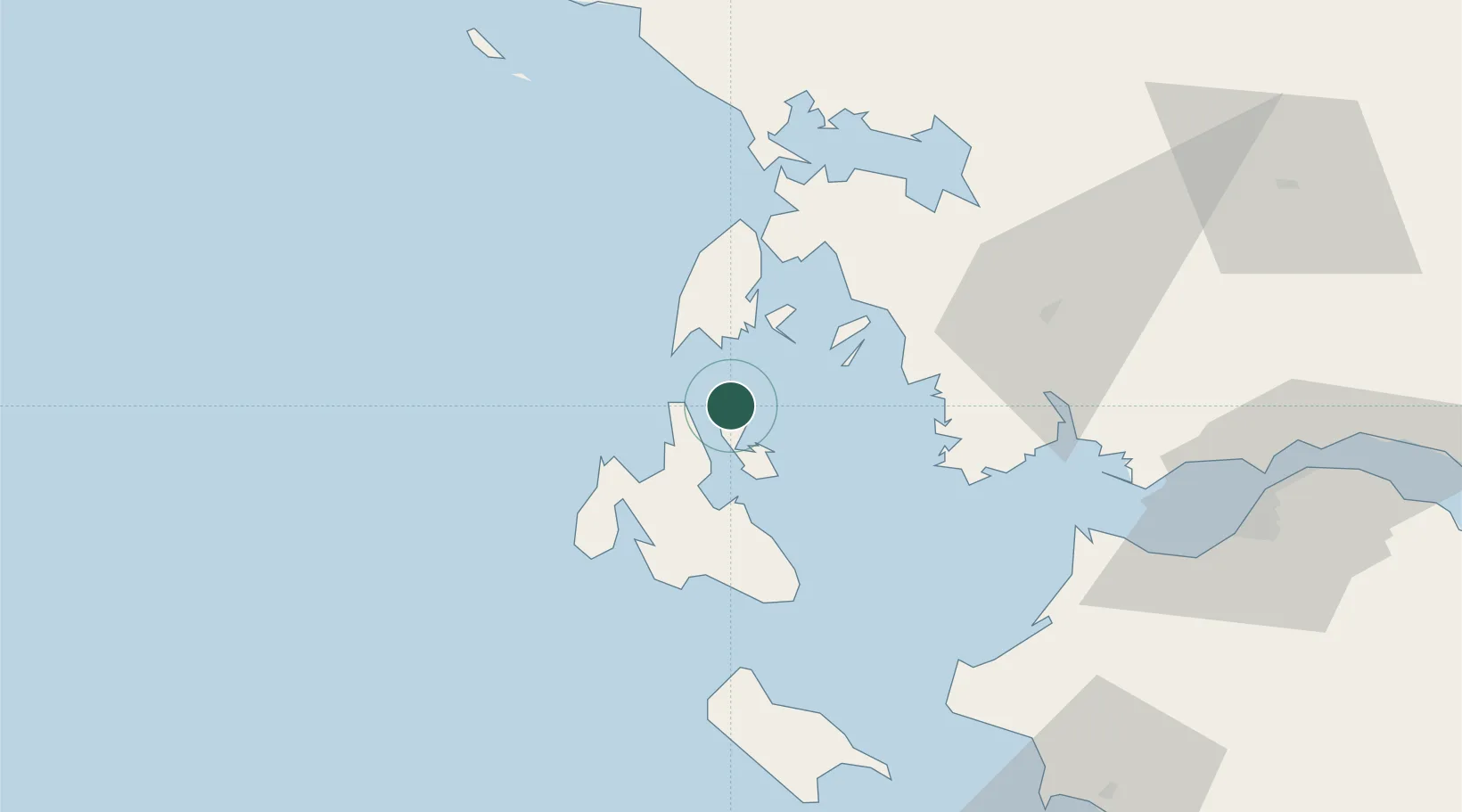
Location
Nearby Logistics Neighbours
Cities
- 1Fiskárdo9 km
- 2Ithaki (Ithaca)12 km
- 3Pissaetos Ithakis13 km
- 4Assos15 km
- 5Myrtos Beach17 km
Ports
- 1Argostolion34 km
- 2Astakos38 km
- 3Preveza54 km
- 4Mesolongion66 km
- 5Patrai96 km
Airports
Trade Zones
DatabookThe Record of Consolidated Knowledge
Greece beyond logistics?