Transport Functions
Port
Hub Profile
Place type
Populated place
Region
Ionian Islands
Population
198
Time zone
Europe/Athens
Elevation
9 m
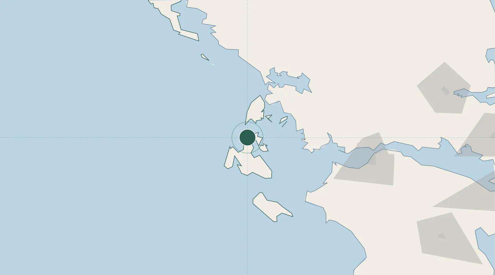
Location
Nearby Logistics Neighbours
Cities
- 1Assos8 km
- 2Frikes Ithakis9 km
- 3Myrtos Beach12 km
- 4Pissaetos Ithakis15 km
- 5Ithaki (Ithaca)16 km
Ports
- 1Argostolion30 km
- 2Astakos47 km
- 3Preveza58 km
- 4Mesolongion75 km
- 5Patrai104 km
Airports
Trade Zones
DatabookThe Record of Consolidated Knowledge
Greece beyond logistics?