Transport Functions
Port
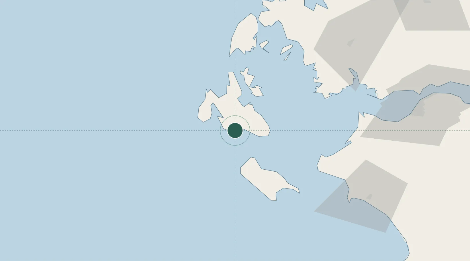
Location
Nearby Logistics Neighbours
Cities
- 1Argostólion13 km
- 2Lixuri17 km
- 3Sámi18 km
- 4Agia Efimia22 km
- 5Shinari Zakynthou25 km
Ports
- 1Argostolion11 km
- 2Astakos62 km
- 3Mesolongion79 km
- 4Katakolon82 km
- 5Preveza96 km
Airports
Trade Zones
DatabookThe Record of Consolidated Knowledge
Greece beyond logistics?