Transport Functions
Port
Road
Hub Profile
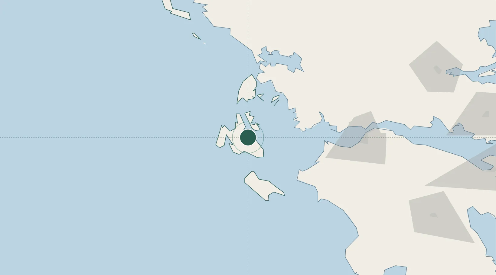
Place type
Populated place
Region
Ionian Islands
Population
1,347
Time zone
Europe/Athens
Elevation
5 m
Location
Nearby Logistics Neighbours
Cities
- 1Agia Efimia7 km
- 2Pissaetos Ithakis12 km
- 3Ithaki (Ithaca)14 km
- 4Myrtos Beach15 km
- 5Argostólion16 km
Ports
- 1Argostolion14 km
- 2Astakos47 km
- 3Mesolongion68 km
- 4Preveza78 km
- 5Katakolon89 km
Airports
Trade Zones
- 1Free Zone of Platigiali (Astakos Etoloakarnanias)47 km
- 2Gjirokastër Freezone206 km
- 3Përmet Freezone223 km
- 4Free Zone of Piraeus261 km
- 5Korçë Freezone266 km
DatabookThe Record of Consolidated Knowledge
Greece beyond logistics?