Transport Functions
Port
Hub Profile
Place type
Provincial seat
Region
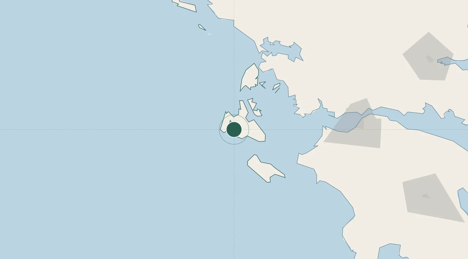
Ionian Islands
Population
9,820
Time zone
Europe/Athens
Elevation
2 m
Location
Nearby Logistics Neighbours
Cities
- 1Lixuri5 km
- 2Pessada Kefallinnias13 km
- 3Petani Beach14 km
- 4Sámi16 km
- 5Agia Efimia17 km
Ports
- 1Astakos63 km
- 2Mesolongion84 km
- 3Preveza88 km
- 4Katakolon94 km
- 5Patrai110 km
Airports
Trade Zones
DatabookThe Record of Consolidated Knowledge
Greece beyond logistics?