UN/LOCODE hub · Greece
GRPAA

Psará

38.5333°, 25.5667°
454
Population
1
Transport functions

Transport Functions

Port
UN/LOCODE

Hub Profile

Place type
District seat
GeoNames
Region
North Aegean
GeoNames
Population
454
GeoNames
Time zone
Europe/Athens
GeoNames
Elevation
12 m
GeoNames

Location

Location of GRPAA
Natural Earth 10m (public domain) · North Aegean · GRPAA · 38.53, 25.57GoogleOSMYandex

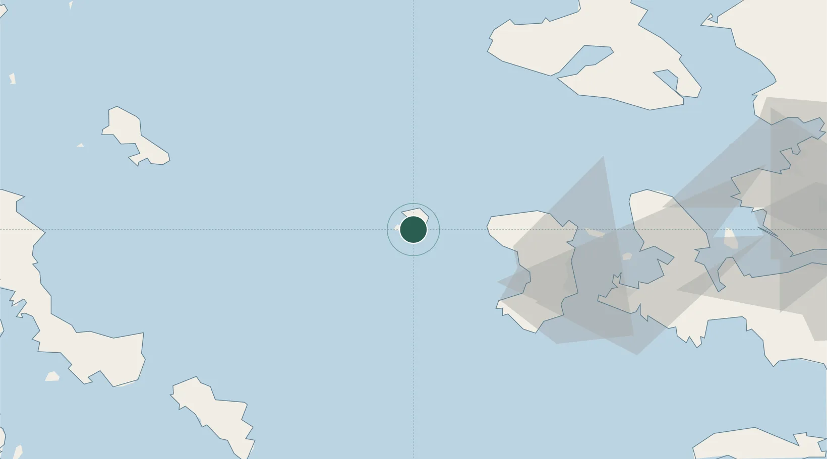
Nearby Logistics Neighbours

Cities
  1. 1Volissos (Limnia) Chios31 km
  2. 2Mesta Hiou42 km
  3. 3Kardámyla46 km
  4. 4Chíos53 km
  5. 5Inousses57 km
Nearest neighbours — logibook spatial index (haversine) over the source coordinates
Ports
  1. 1Khios53 km
  2. 2Plomarion86 km
  3. 3Andros95 km
  4. 4Gavrio103 km
  5. 5Mitilini107 km
Nearest neighbours — logibook spatial index (haversine) over the source coordinates
Airports
  1. 1Chios Island National Airport54 km
  2. 2Skiros Airport105 km
  3. 3Mytilene International Airport107 km
  4. 4Ikaria Airport117 km
  5. 5Mykonos Island National Airport124 km
Nearest neighbours — logibook spatial index (haversine) over the source coordinates
Trade Zones
  1. 1Izmir Free Zone119 km
  2. 2Izmir Ataturk Organized Industrial Zone128 km
  3. 3Aliaga Kimya Ihtisas ve Karma Organized Industrial Zone133 km
  4. 4Aegean Free Zone137 km
  5. 5Manisa Organized Industrial Zone157 km
Nearest neighbours — logibook spatial index (haversine) over the source coordinates
DatabookThe Record of Consolidated Knowledge
Greece beyond logistics?
Browse databook

All Sources

LocationsUN/LOCODE
UN/LOCODE — free
LocationsGeoNames
CC BY 4.0
Portsthe NGA World Port Index
Public domain (US gov)
AirportsOurAirports
Public domain
Trade Zonesthe World Bank SEZ database
CC BY 4.0
Trade ZonesOpen Zone Map
CC BY
← Greece locations