Transport Functions
Port
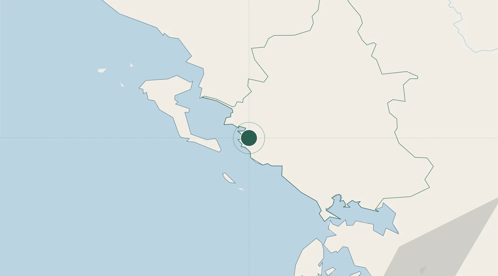
Hub Profile
Place type
Populated place
Region
Epirus
Population
1,044
Time zone
Europe/Athens
Elevation
2 m
Location
Nearby Logistics Neighbours
Cities
- 1Igoumenítsa6 km
- 2Syvota7 km
- 3Lefkímmi16 km
- 4Skáloma20 km
- 5Párga21 km
Ports
- 1Kerkira35 km
- 2Preveza69 km
- 3Astakos129 km
- 4Vlore131 km
- 5Argostolion142 km
Airports
Trade Zones
DatabookThe Record of Consolidated Knowledge
Greece beyond logistics?