UN/LOCODE hub · Greece
GRAIG

Aigiali Amorgou

36.9000°, 25.9667°
1
Transport functions

Transport Functions

Port
UN/LOCODE

Hub Profile

Region
82
GeoNames

Location

Location of GRAIG
Natural Earth 10m (public domain) · 82 · GRAIG · 36.90, 25.97GoogleOSMYandex

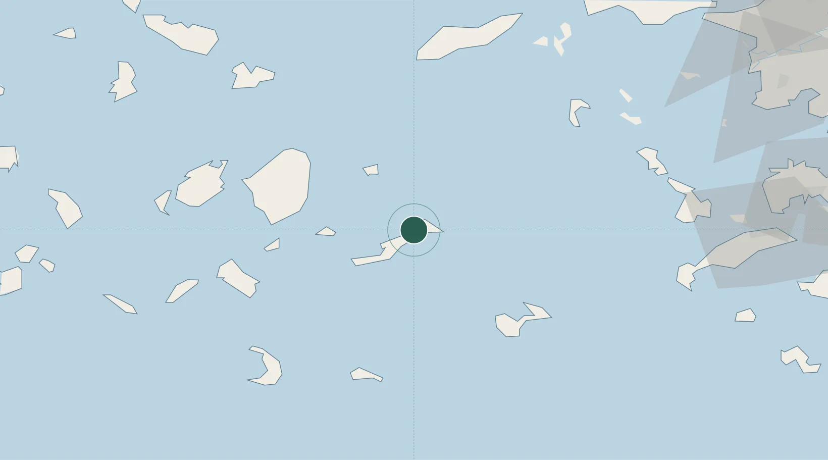
Nearby Logistics Neighbours

Cities
  1. 1Katápola12 km
  2. 2Donousa Kykladon27 km
  3. 3Koufonissia Kykladon33 km
  4. 4Moutsoúna40 km
  5. 5Schinousa Kykladon42 km
Nearest neighbours — logibook spatial index (haversine) over the source coordinates
Ports
  1. 1Nisos Naxos58 km
  2. 2Lakki83 km
  3. 3Mikonos83 km
  4. 4Kalimnos91 km
  5. 5Limin Sirou108 km
Nearest neighbours — logibook spatial index (haversine) over the source coordinates
Airports
  1. 1Astypalaia Airport51 km
  2. 2Naxos Island National Airport57 km
  3. 3Santorini International Airport71 km
  4. 4Paros National Airport77 km
  5. 5Leros Airport81 km
Nearest neighbours — logibook spatial index (haversine) over the source coordinates
Trade Zones
  1. 1Aegean Free Zone190 km
  2. 2Izmir Ataturk Organized Industrial Zone200 km
  3. 3Free Zone of Heraklion205 km
  4. 4Tire Organized Industrial Zone205 km
  5. 5Izmir Free Zone209 km
Nearest neighbours — logibook spatial index (haversine) over the source coordinates
DatabookThe Record of Consolidated Knowledge
Greece beyond logistics?
Browse databook

All Sources

LocationsUN/LOCODE
UN/LOCODE — free
Portsthe NGA World Port Index
Public domain (US gov)
AirportsOurAirports
Public domain
Trade Zonesthe World Bank SEZ database
CC BY 4.0
Trade ZonesOpen Zone Map
CC BY
← Greece locations