UN/LOCODE hub · Greece
GRKMI

Kálymnos

36.9500°, 26.9833°
12,324
Population
1
Transport functions

Transport Functions

Port
Kálymnos is also a profiled seaport →
UN/LOCODE

Hub Profile

Place type
District seat
GeoNames
Region
South Aegean
GeoNames
Population
12,324
GeoNames
Time zone
Europe/Athens
GeoNames
Elevation
2 m
GeoNames

Location

Location of GRKMI
Natural Earth 10m (public domain) · South Aegean · GRKMI · 36.95, 26.98GoogleOSMYandex

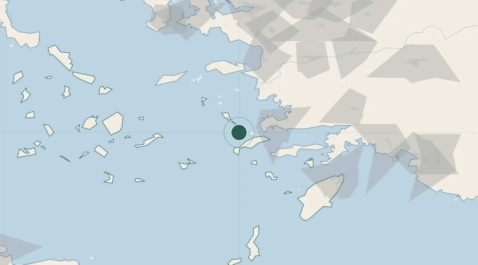
Nearby Logistics Neighbours

Cities
  1. 1Myrties Kalymnou7 km
  2. 2Mastichari Kos13 km
  3. 3Phserimos Dodekanisou14 km
  4. 4Xirokampos Leros21 km
  5. 5Lakkion24 km
Nearest neighbours — logibook spatial index (haversine) over the source coordinates
Ports
  1. 1Lakki24 km
  2. 2Limin Kos27 km
  3. 3Bodrum41 km
  4. 4Gulluk65 km
  5. 5Pithagorion82 km
Nearest neighbours — logibook spatial index (haversine) over the source coordinates
Airports
  1. 1Kalymnos Airport4 km
  2. 2Kos International Airport "Ippokratis"20 km
  3. 3Leros Airport31 km
  4. 4Astypalaia Airport68 km
  5. 5Milas Bodrum International Airport69 km
Nearest neighbours — logibook spatial index (haversine) over the source coordinates
Trade Zones
  1. 1Tire Organized Industrial Zone145 km
  2. 2Aegean Free Zone155 km
  3. 3Izmir Ataturk Organized Industrial Zone171 km
  4. 4Izmir Free Zone186 km
  5. 5Manisa Organized Industrial Zone188 km
Nearest neighbours — logibook spatial index (haversine) over the source coordinates
DatabookThe Record of Consolidated Knowledge
Greece beyond logistics?
Browse databook

All Sources

LocationsUN/LOCODE
UN/LOCODE — free
LocationsGeoNames
CC BY 4.0
Portsthe NGA World Port Index
Public domain (US gov)
AirportsOurAirports
Public domain
Trade Zonesthe World Bank SEZ database
CC BY 4.0
Trade ZonesOpen Zone Map
CC BY
← Greece locations