UN/LOCODE hub · Greece
GRJTY

Astypálaia

36.5500°, 26.3500°
1,129
Population
1
Transport functions

Transport Functions

Port
UN/LOCODE

Hub Profile

Place type
District seat
GeoNames
Region
South Aegean
GeoNames
Population
1,129
GeoNames
Time zone
Europe/Athens
GeoNames
Elevation
46 m
GeoNames

Location

Location of GRJTY
Natural Earth 10m (public domain) · South Aegean · GRJTY · 36.55, 26.35GoogleOSMYandex

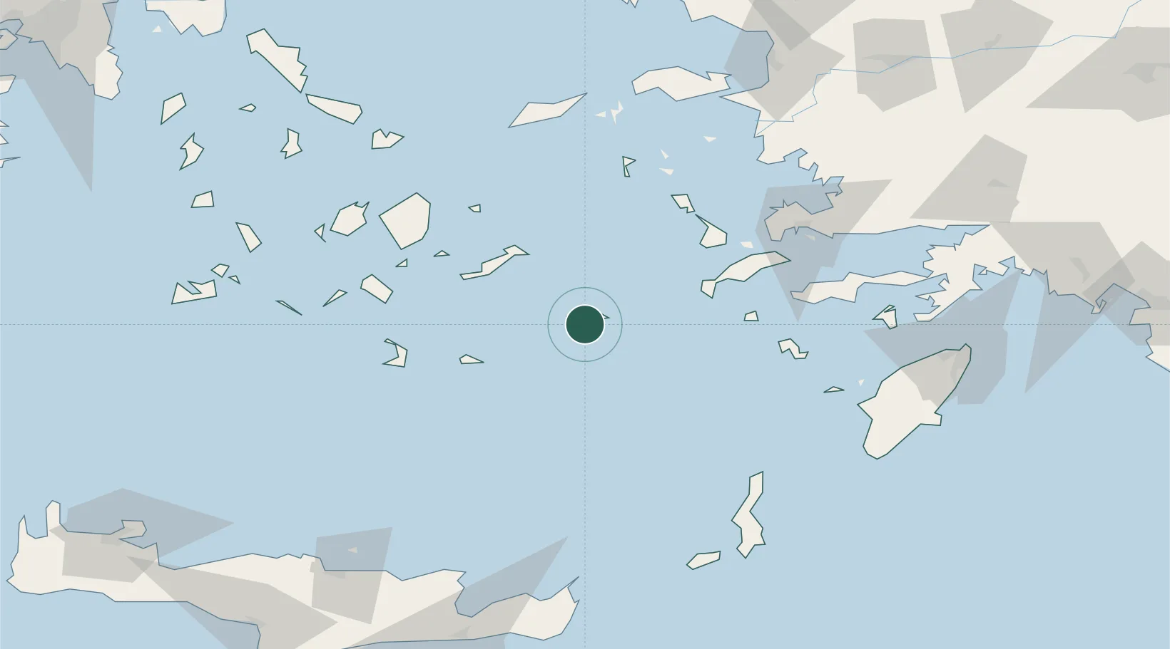
Nearby Logistics Neighbours

Cities
  1. 1Aigiali Amorgou52 km
  2. 2Katápola53 km
  3. 3Anáfi57 km
  4. 4Kefalos Ko59 km
  5. 5Myrties Kalymnou70 km
Nearest neighbours — logibook spatial index (haversine) over the source coordinates
Ports
  1. 1Kalimnos72 km
  2. 2Lakki79 km
  3. 3Limin Kos92 km
  4. 4Nisos Naxos107 km
  5. 5Bodrum110 km
Nearest neighbours — logibook spatial index (haversine) over the source coordinates
Airports
  1. 1Astypalaia Airport4 km
  2. 2Kalymnos Airport70 km
  3. 3Kos International Airport "Ippokratis"72 km
  4. 4Santorini International Airport80 km
  5. 5Leros Airport81 km
Nearest neighbours — logibook spatial index (haversine) over the source coordinates
Trade Zones
  1. 1Free Zone of Heraklion188 km
  2. 2Aegean Free Zone210 km
  3. 3Tire Organized Industrial Zone212 km
  4. 4Izmir Ataturk Organized Industrial Zone224 km
  5. 5Izmir Free Zone236 km
Nearest neighbours — logibook spatial index (haversine) over the source coordinates
DatabookThe Record of Consolidated Knowledge
Greece beyond logistics?
Browse databook

All Sources

LocationsUN/LOCODE
UN/LOCODE — free
LocationsGeoNames
CC BY 4.0
Portsthe NGA World Port Index
Public domain (US gov)
AirportsOurAirports
Public domain
Trade Zonesthe World Bank SEZ database
CC BY 4.0
Trade ZonesOpen Zone Map
CC BY
← Greece locations