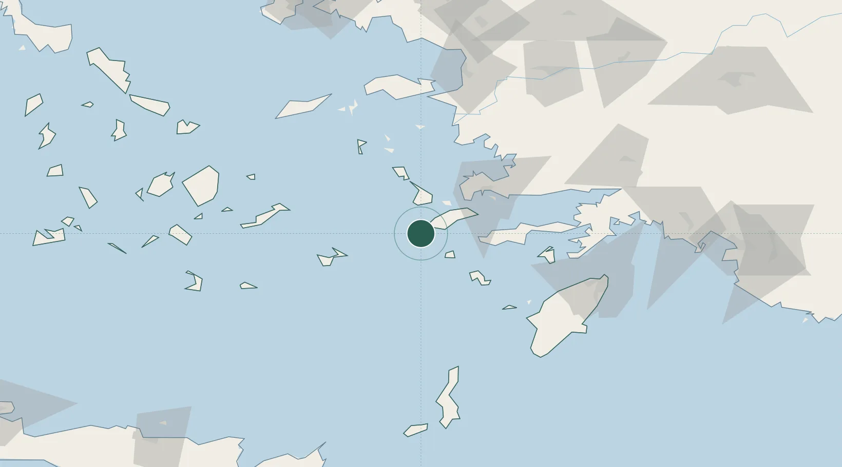
UN/LOCODE hub · Greece
GRKEF

Kefalos Ko

36.7333°, 26.9667°
1
Transport functions

Transport Functions

Port
UN/LOCODE

Location

Location of GRKEF
Natural Earth 10m (public domain) · Notio Aigaio · GRKEF · 36.73, 26.97GoogleOSMYandex

Nearby Logistics Neighbours

Cities
  1. 1Mastichari Kos16 km
  2. 2Kardamaina Kos17 km
  3. 3Nisiros20 km
  4. 4Kálymnos24 km
  5. 5Phserimos Dodekanisou27 km
Nearest neighbours — logibook spatial index (haversine) over the source coordinates
Ports
  1. 1Kalimnos24 km
  2. 2Limin Kos34 km
  3. 3Lakki46 km
  4. 4Bodrum53 km
  5. 5Gulluk81 km
Nearest neighbours — logibook spatial index (haversine) over the source coordinates
Airports
  1. 1Kos International Airport "Ippokratis"13 km
  2. 2Kalymnos Airport26 km
  3. 3Leros Airport52 km
  4. 4Astypalaia Airport55 km
  5. 5Milas Bodrum International Airport84 km
Nearest neighbours — logibook spatial index (haversine) over the source coordinates
Trade Zones
  1. 1Tire Organized Industrial Zone167 km
  2. 2Aegean Free Zone179 km
  3. 3Izmir Ataturk Organized Industrial Zone196 km
  4. 4Izmir Free Zone210 km
  5. 5Manisa Organized Industrial Zone212 km
Nearest neighbours — logibook spatial index (haversine) over the source coordinates
DatabookThe Record of Consolidated Knowledge
Greece beyond logistics?
Browse databook

All Sources

LocationsUN/LOCODE
UN/LOCODE — free
Portsthe NGA World Port Index
Public domain (US gov)
AirportsOurAirports
Public domain
Trade Zonesthe World Bank SEZ database
CC BY 4.0
Trade ZonesOpen Zone Map
CC BY
← Greece locations