Transport Functions
Port
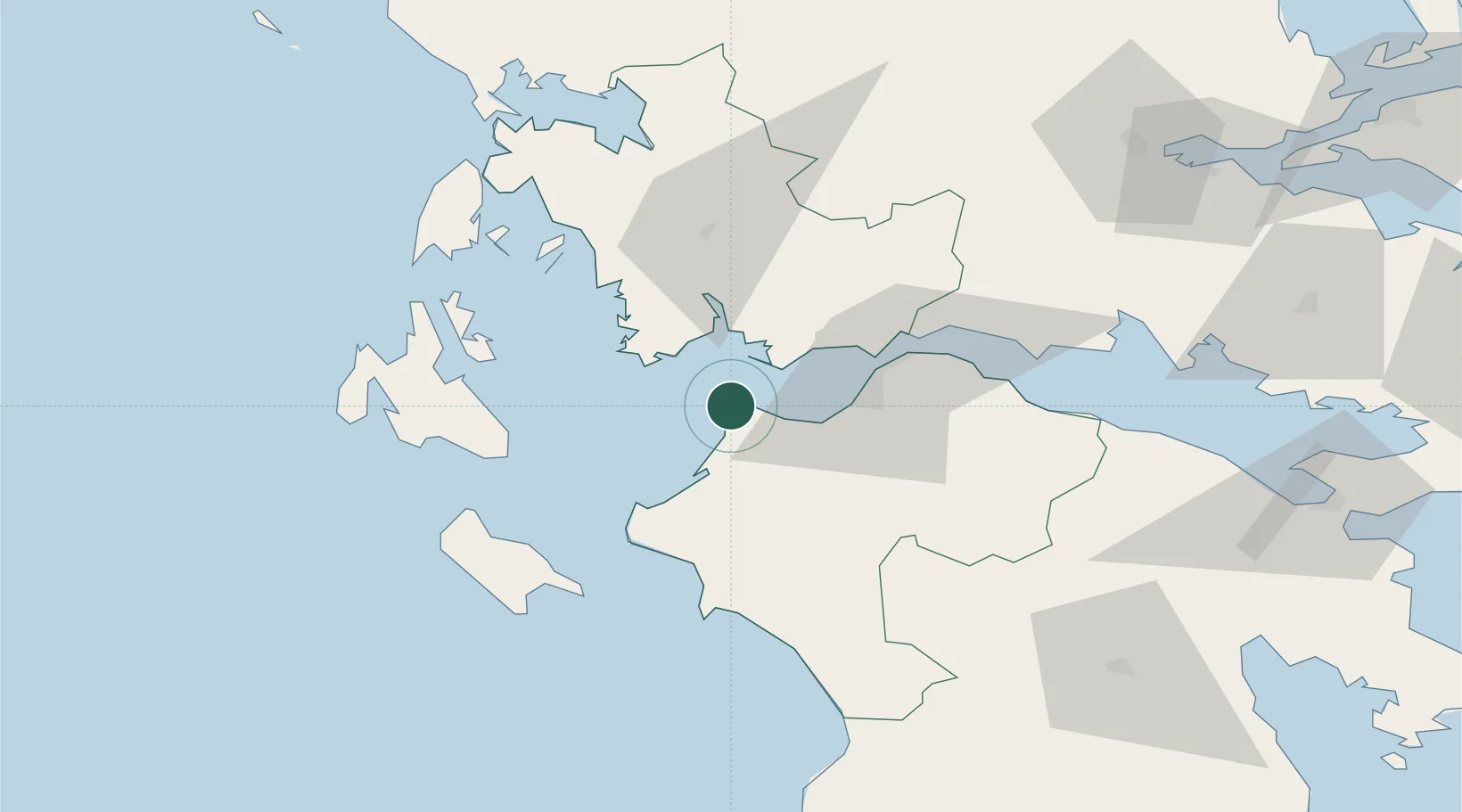
Hub Profile
Place type
Populated place
Region
West Greece
Population
218
Time zone
Europe/Athens
Elevation
4 m
Location
Nearby Logistics Neighbours
Cities
- 1Káto Achaïa16 km
- 2Káto Akhaía16 km
- 3Riolos18 km
- 4Mesolóngion19 km
- 5Kryonéri25 km
Ports
- 1Mesolongion19 km
- 2Patrai31 km
- 3Astakos40 km
- 4Aigio61 km
- 5Katakolon61 km
Airports
Trade Zones
- 1Free Zone of Platigiali (Astakos Etoloakarnanias)40 km
- 2Free Zone of Piraeus197 km
- 3Gjirokastër Freezone233 km
- 4Përmet Freezone244 km
- 5Korçë Freezone276 km
DatabookThe Record of Consolidated Knowledge
Greece beyond logistics?