UN/LOCODE hub · Greece
GRKRY

Kryonéri

38.3500°, 21.6000°
1
Transport functions

Transport Functions

Multimodal
UN/LOCODE

Hub Profile

Place type
Populated place
GeoNames
Region
West Greece
GeoNames
Time zone
Europe/Athens
GeoNames
Elevation
2 m
GeoNames

Location

Location of GRKRY
Natural Earth 10m (public domain) · West Greece · GRKRY · 38.35, 21.60GoogleOSMYandex

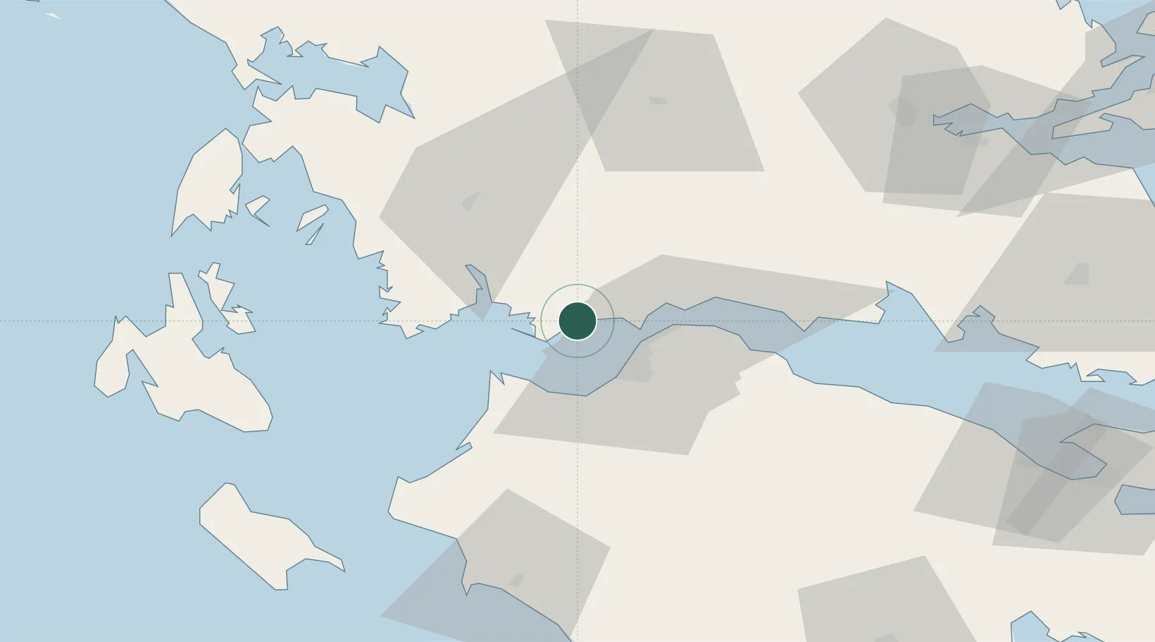
Nearby Logistics Neighbours

Cities
  1. 1Mesolóngion15 km
  2. 2Andírrion15 km
  3. 3Patras17 km
  4. 4Návpaktos21 km
  5. 5Drepano Riou22 km
Nearest neighbours — logibook spatial index (haversine) over the source coordinates
Ports
  1. 1Mesolongion16 km
  2. 2Patrai16 km
  3. 3Aigio44 km
  4. 4Astakos46 km
  5. 5Itea72 km
Nearest neighbours — logibook spatial index (haversine) over the source coordinates
Airports
  1. 1Patras Araxos Agamemnon Airport27 km
  2. 2Andravida Air Base55 km
  3. 3Zakynthos International Airport Dionysios Solomos92 km
  4. 4Aktion National Airport97 km
  5. 5Kefallinia Airport99 km
Nearest neighbours — logibook spatial index (haversine) over the source coordinates
Trade Zones
  1. 1Free Zone of Platigiali (Astakos Etoloakarnanias)46 km
  2. 2Free Zone of Piraeus182 km
  3. 3Gjirokastër Freezone228 km
  4. 4Përmet Freezone236 km
  5. 5Korçë Freezone264 km
Nearest neighbours — logibook spatial index (haversine) over the source coordinates
DatabookThe Record of Consolidated Knowledge
Greece beyond logistics?
Browse databook

All Sources

LocationsUN/LOCODE
UN/LOCODE — free
Portsthe NGA World Port Index
Public domain (US gov)
AirportsOurAirports
Public domain
Trade Zonesthe World Bank SEZ database
CC BY 4.0
Trade ZonesOpen Zone Map
CC BY
← Greece locations