Transport Functions
Multimodal
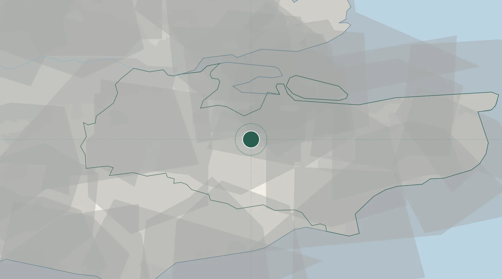
Hub Profile
Place type
Populated place
Region
England
Time zone
Europe/London
Elevation
92 m
Location
Nearby Logistics Neighbours
Cities
- 1Kippings Cross3 km
- 2New Hythe14 km
- 3Grovehurst Jetty/Sittingbourne14 km
- 4Norton16 km
- 5West Malling16 km
Ports
- 1Chatham Docks19 km
- 2Isle Of Grain23 km
- 3Thamesport23 km
- 4Sheerness26 km
- 5Gravesend30 km
Airports
- 1London Southend Airport38 km
- 2Lydd London Ashford Airport38 km
- 3London Biggin Hill Airport42 km
- 4London City Airport49 km
- 5London Gatwick Airport57 km
Trade Zones
DatabookThe Record of Consolidated Knowledge
United Kingdom beyond logistics?