Transport Functions
Rail
Road
Hub Profile
Place type
Populated place
Region
England
Time zone
Europe/London
Elevation
39 m
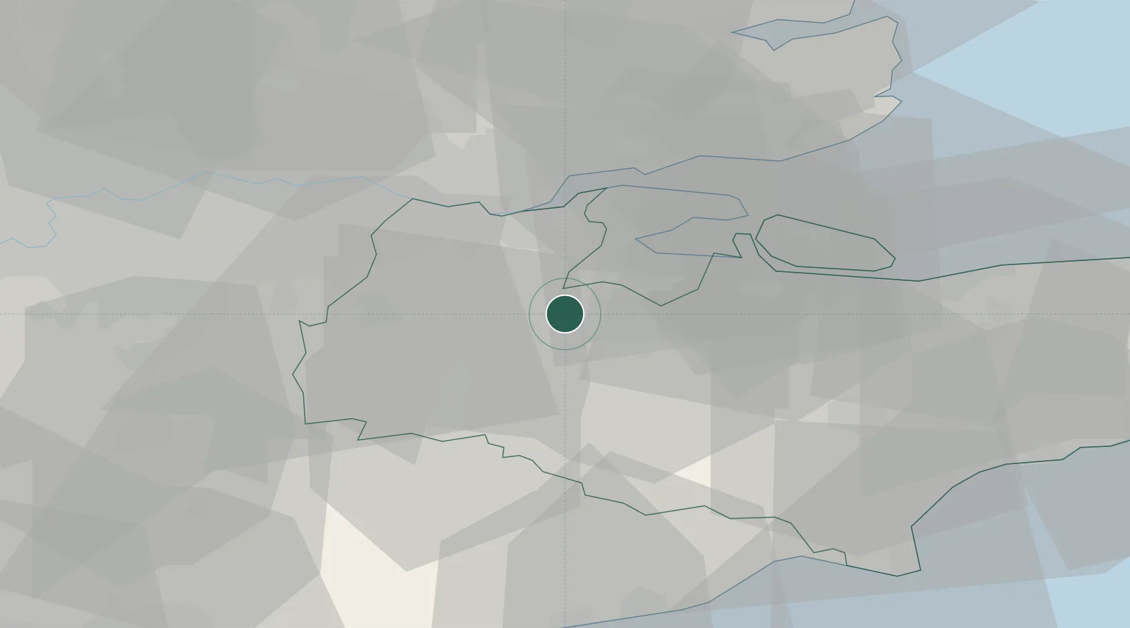
Location
Nearby Logistics Neighbours
Cities
- 1West Malling4 km
- 2Meopham9 km
- 3Gillingham12 km
- 4Upnor12 km
- 5Kippings Cross13 km
Ports
- 1Chatham Docks13 km
- 2Gravesend18 km
- 3Tilbury20 km
- 4Isle Of Grain23 km
- 5Thamesport23 km
Airports
- 1London Biggin Hill Airport29 km
- 2London Southend Airport35 km
- 3London City Airport36 km
- 4London Gatwick Airport47 km
- 5Lydd London Ashford Airport51 km
Trade Zones
DatabookThe Record of Consolidated Knowledge
United Kingdom beyond logistics?