UN/LOCODE hub · United Kingdom
GBWML
West Malling
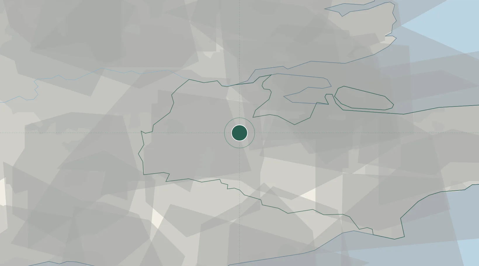
51.2833°, 0.4000°
2,266
Population
3
Transport functions
Transport Functions
Rail
Road
Airport
Hub Profile
Place type
Populated place
Region
England
Population
2,266
Time zone
Europe/London
Elevation
49 m
Location
Nearby Logistics Neighbours
Cities
- 1New Hythe4 km
- 2Meopham10 km
- 3Five Oak Green12 km
- 4Kemsing13 km
- 5Kippings Cross15 km
Ports
- 1Chatham Docks17 km
- 2Gravesend19 km
- 3Tilbury21 km
- 4Isle Of Grain27 km
- 5Thamesport27 km
Airports
- 1London Biggin Hill Airport26 km
- 2London City Airport34 km
- 3London Southend Airport38 km
- 4London Gatwick Airport44 km
- 5Lydd London Ashford Airport52 km
Trade Zones
DatabookThe Record of Consolidated Knowledge
United Kingdom beyond logistics?