UN/LOCODE hub · United Kingdom
GBDHS

Downhead

51.2167°, -2.4500°
1
Transport functions

Transport Functions

Multimodal
UN/LOCODE

Hub Profile

Place type
Populated place
GeoNames
Region
England
GeoNames
Time zone
Europe/London
GeoNames
Elevation
188 m
GeoNames

Location

Location of GBDHS
Natural Earth 10m (public domain) · England · GBDHS · 51.22, -2.45GoogleOSMYandex

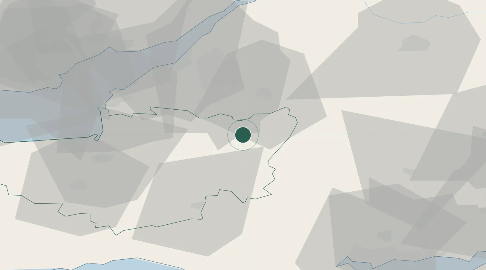
Nearby Logistics Neighbours

Cities
  1. 1Cranmore4 km
  2. 2Berkley13 km
  3. 3West Harptree15 km
  4. 4Bath18 km
  5. 5Keynsham21 km
Nearest neighbours — logibook spatial index (haversine) over the source coordinates
Ports
  1. 1Bristol31 km
  2. 2Avonmouth37 km
  3. 3Bridgwater39 km
  4. 4Newport52 km
  5. 5Bird Port53 km
Nearest neighbours — logibook spatial index (haversine) over the source coordinates
Airports
  1. 1Bristol Airport26 km
  2. 2RNAS Yeovilton27 km
  3. 3MoD Boscombe Down50 km
  4. 4Bournemouth Airport65 km
  5. 5Cardiff International Airport65 km
Nearest neighbours — logibook spatial index (haversine) over the source coordinates
Trade Zones
  1. 1Bristol Temple Quarter Enterprise Zone27 km
  2. 2Dorset Innovation Park61 km
  3. 3Ceramics Valley72 km
  4. 4Southampton Free Zone79 km
  5. 5EZ³ Enterprise Zone80 km
Nearest neighbours — logibook spatial index (haversine) over the source coordinates
DatabookThe Record of Consolidated Knowledge
United Kingdom beyond logistics?
Browse databook

All Sources

LocationsUN/LOCODE
UN/LOCODE — free
Portsthe NGA World Port Index
Public domain (US gov)
AirportsOurAirports
Public domain
Trade Zonesthe World Bank SEZ database
CC BY 4.0
Trade ZonesOpen Zone Map
CC BY
← United Kingdom locations