UN/LOCODE hub · United Kingdom
GBGBY
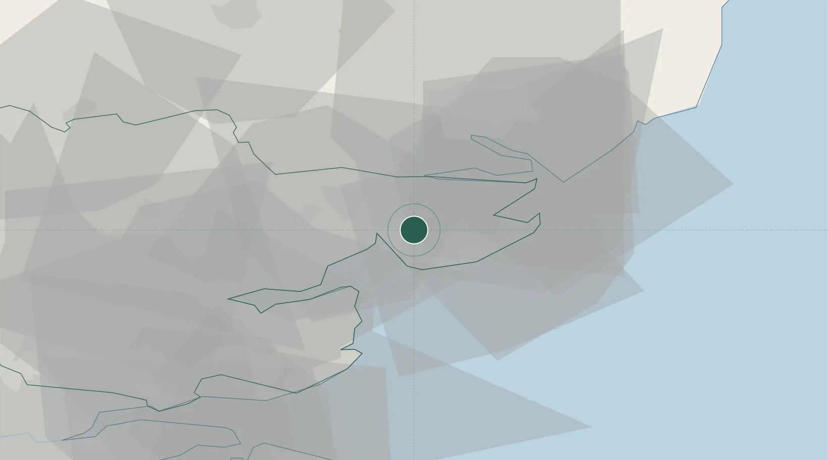
Great Bentley
51.8500°, 1.0500°
1,545
Population
3
Transport functions
Transport Functions
Rail
Road
Multimodal
Hub Profile
Place type
Populated place
Region
England
Population
1,545
Time zone
Europe/London
Elevation
26 m
Location
Nearby Logistics Neighbours
Cities
- 1Wix9 km
- 2Clacton-on-Sea9 km
- 3Great Oakley11 km
- 4Holland on Sea11 km
- 5West Mersea12 km
Ports
- 1Colchester10 km
- 2Harwich20 km
- 3Felixstowe21 km
- 4Ipswich24 km
- 5Sheerness49 km
Airports
- 1Wattisham Airfield32 km
- 2London Southend Airport40 km
- 3London Stansted Airport56 km
- 4RAF Honington58 km
- 5RAF Mildenhall69 km
Trade Zones
DatabookThe Record of Consolidated Knowledge
United Kingdom beyond logistics?